Summary
Distance: 14.5 miles
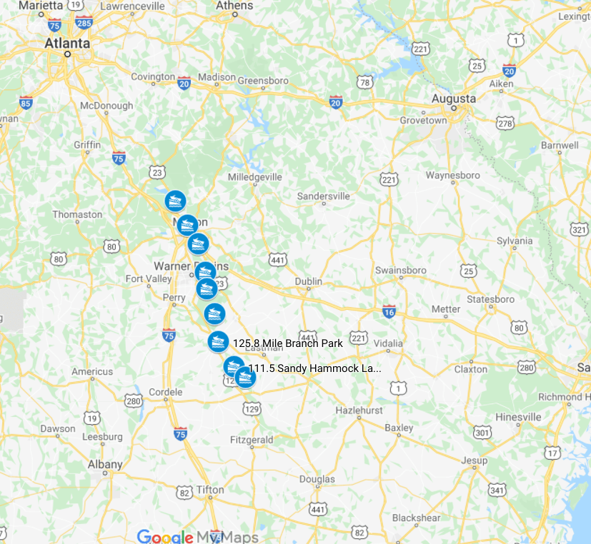
Put in: Dirt lot, (carefully) passenger car accessible. (map)
Take out: Paved lot (map)
Gauge level: 5.2 feet
Relevant gauge: (here)
AllTrails map: (here)
This was the first time we’ve been on a river when the water level was way higher than normal. I was watching the gauge the day before we did our paddle, and the water level was above the 75th percentile for the date using 12 years of history. I’ll admit that I was nervous given that we didn’t have experience in those conditions. But, I decided to face my fear and head up for a paddle.
We took a look at the river when we dropped off the car at the take out site, and the water was high, muddy, and fast. We were both concerned now. I was wondering if there would be big waves at the fish weirs, Anne was concerned about fallen trees causing problems, and we both were thinking about high e-coli levels. But, I really wanted to overcome my concerns, and convinced Anne that we’d be fine.