Summary
Distance: 11.9 miles
Put in: Gravel parking lot. (map)
Take out: Paved parking lot. (map)
Gauge level: 3.7 feet
Relevant gauge: (here)
AllTrails map: (here)
Guide book: (here)
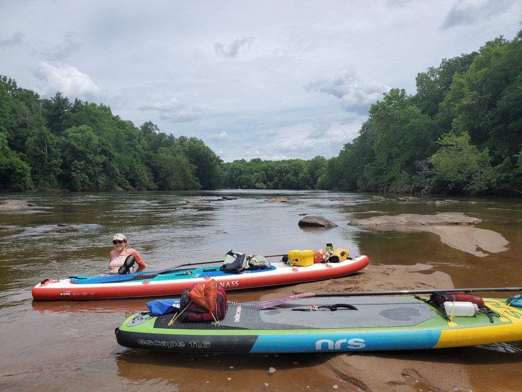
This was our first paddle on the Ocmulgee River as we make our way to the Atlantic Ocean. The whole trip will be close to 350 miles.
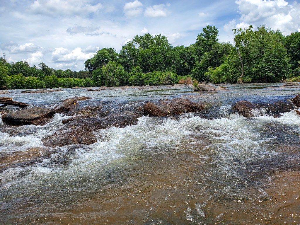
Today’s section was a lot of fun. There were shoals in the first half of the day that provided very interesting navigation challenges. It was possible to make it through the rocks, but you might have to zig zag your way from one side of the river to the other to find a way through the rocks. Below the shoals, when the river smoothed out, you could see the mostly sandy bottom clearly.

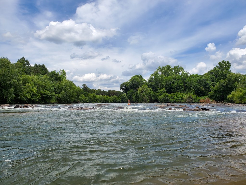
As we got to the northern end of Amerson Park, we had a lot of company on the water. There is an easy 2-mile long float that is very popular. Most people were in tubes, but some were in kayaks. We were still the only people on paddle boards though.
