Summary
Distance: 9.7 miles
Elevation gain: 3,077 feet
Type: Out and Back
Trailhead: Gravel pull out, paved road. (map)
This hike was the start of my participation in the Georgia 4000 Challenge. We started out with the intention of only doing two peaks, but Blood Mtn was so close that it seemed to be a good idea to knock it out while we were in the area.
Georgia Hwy 180 gave us a perfect place to start. The road gave us access to Wolf Pen Gap where we parked, and allowed us to eat a snack and change out of wet clothes between the peaks as we were hiking during the remnants of Tropical Storm Delta.
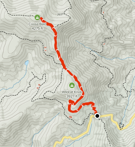
We did Coosa Bald first (map here) which was a round trip distance of about 3.7 miles. We headed north out of the gap on Duncan Ridge Trail which was well maintained and easy to follow. There was a well signed junction where Coosa Backcountry Trail entered from the right. I can imagine a nice view which was all we could do given the weather.
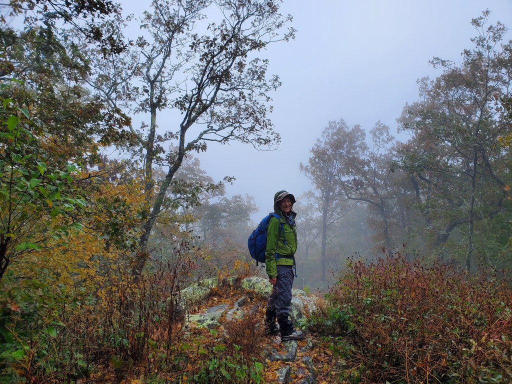
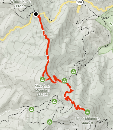
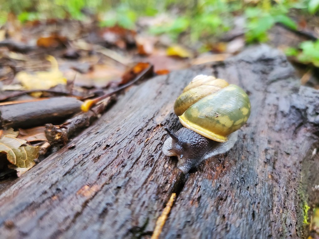
After returning to the car, we headed across the road to get back on Duncan Ridge Trail (DRT). Map here. The weather had started to get a bit worse, but we had rain gear. The trail climbed steeply from the gap, but the trail was in good shape. After about a mile, we needed to head off trail to get to the summit of Slaughter Mountain. This bushwhack was pretty tough with thick briers and wet vegetation. I use the GaiaGPS app on my phone for navigation, and it was a good thing to have it because it’s easier to get off course when the going is rough. I’m not sure why, but we kept drifting to the right of our intended course. The descent from the summit to DRT was steep and tricky with thick vegetation and boulders to navigate. Once we made it back to the trail, it was easy enough to continue on DRT to the Appalachian Trail (AT). Once we hit the AT, it was only a half mile to the summit of Blood Mountain. This part of our day was about a six mile round trip. Not a lot of photos on this part. Here’s Anne in the mist and a cool snail.

Three peaks down, twenty-nine to go.
