Summary
Distance: 9.7 miles
Elevation gain: 1,980 feet
Type: Loop
Trailhead: gravel road, passenger car accessible (map)
AllTrails map (here)
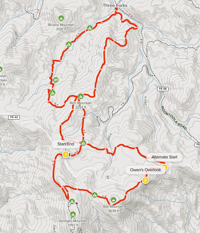
Today’s hike was unusual in that we were able to hike in a loop while completing a Benton MacKaye section. We started from the AT parking lot on FS 42. Springer Mountain is where the Appalachian Trail starts, so the parking lot was mostly full. There are two other good starting points. The “Alternate Start” on the map is a Benton MacKaye trailhead with a small parking area. Three Forks on FS 58 is also a good alternative. If you start at Three Forks, just park along the road. FS 42 and FS 58 are both dirt roads, but are passenger car accessible. The other road that climbs to Winding Stair Gap, FS 77, has gotten very rough and should probably be avoided in a car.
Our hike was great fun even though we didn’t include the Springer Mountain summit to avoid other people due to Covid concerns. There are two shorter loops possible as well. I think that the Southern loop that includes Owen’s Overlook is the better of the two due to the great views and the Springer Mountain summit coolness factor.
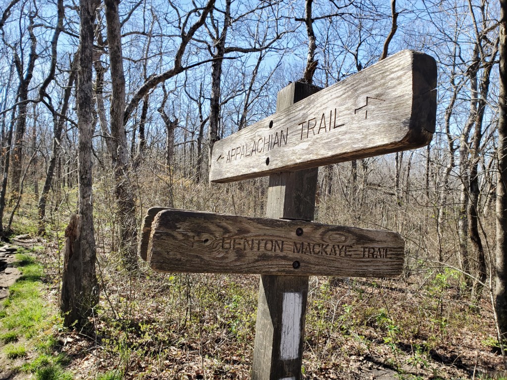
The Benton MacKaye Trail (BMT) starts near the summit of Springer Mountain, so we needed to hike southbound on the Appalachian Trail (AT) from the parking area to get the BMT. “Through hikers”, people who are doing all the AT from Georgia to Maine, start their hike in the Spring, so there were a good many people starting out when we were there. In fact, we played a part in getting one hiker to the trail. He flagged us down as we started driving up FS 42 because his driver couldn’t handle the dirt road and needed to turn back before reaching the parking area. The hiker, Rick, had his Covid vaccinations as had Anne and I, so we all wore masks and drove with the windows down.
It’s a little less than a mile from the parking lot to the start of Benton MacKaye, and we saw plenty of hikers, both day hikers and people starting a northbound through hike adventure.
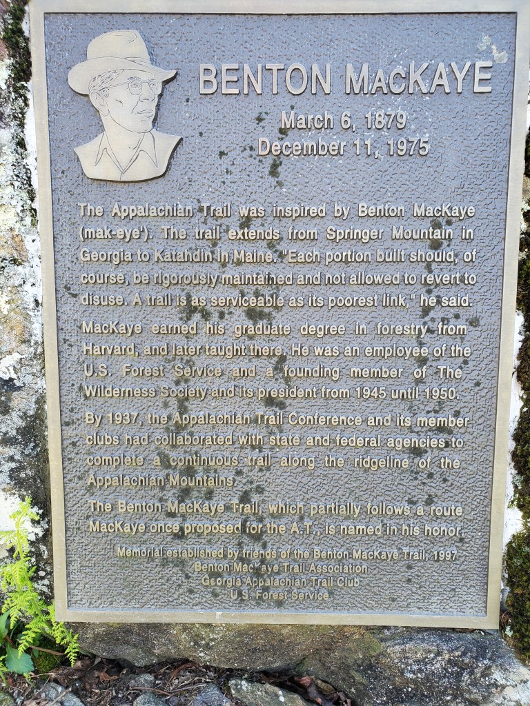
Shortly after the BMT starts, there’s a memorial plaque on a rock commemorating Benton MacKaye who inspired the creation of the Appalachian Trail.
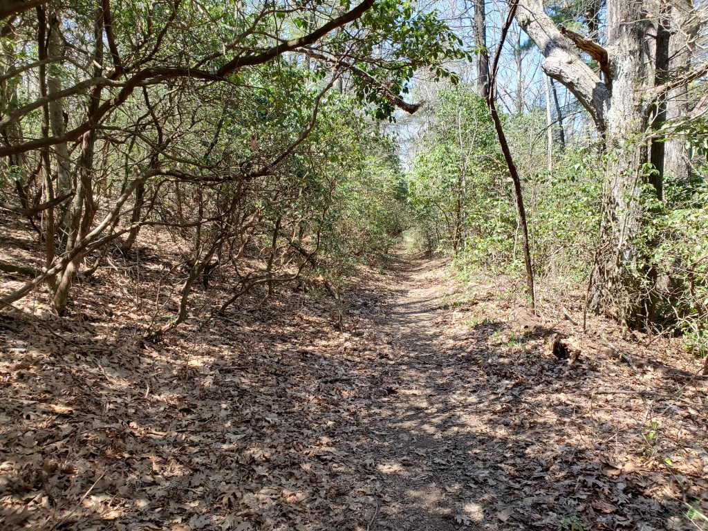
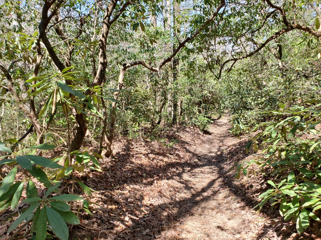
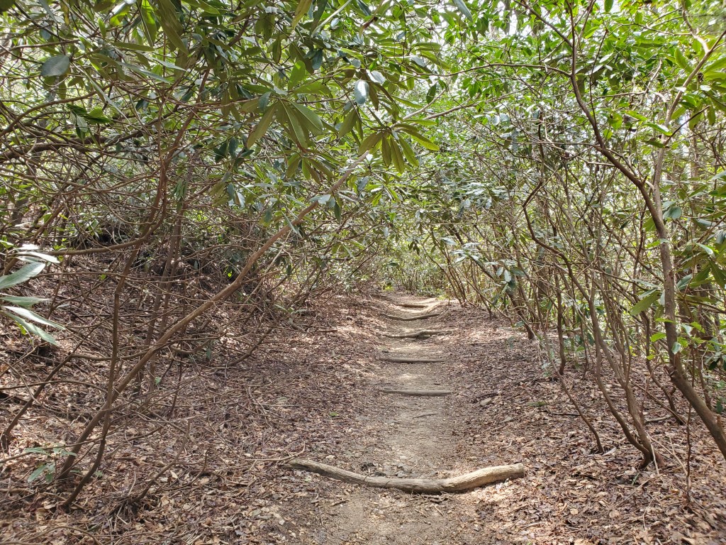
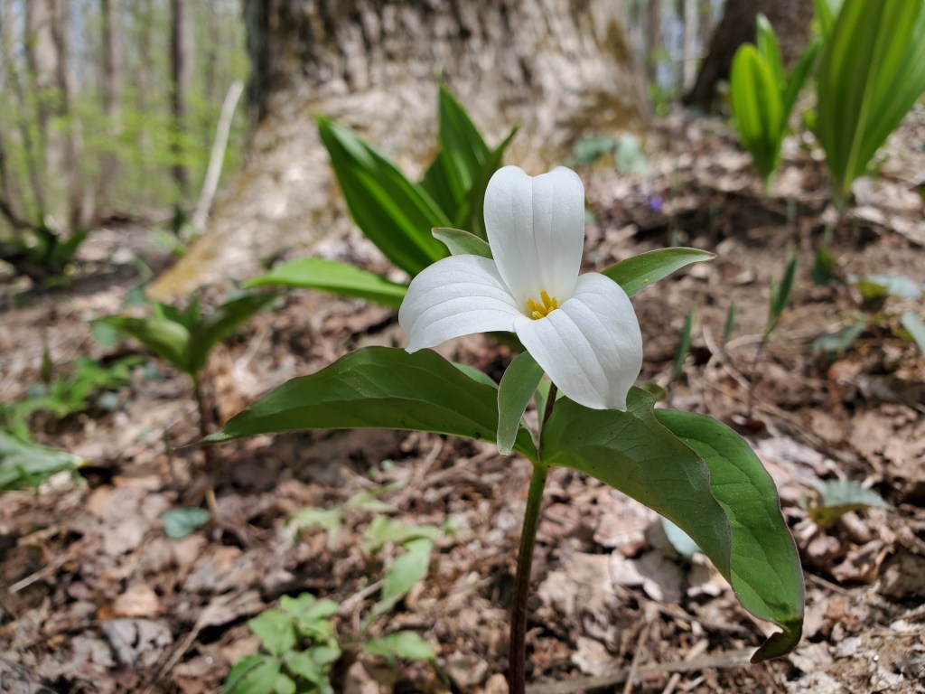
Given that the trail was above 3,000 feet high, there was a great “high elevation” feel. The trees at this elevation had not started getting their leaves.

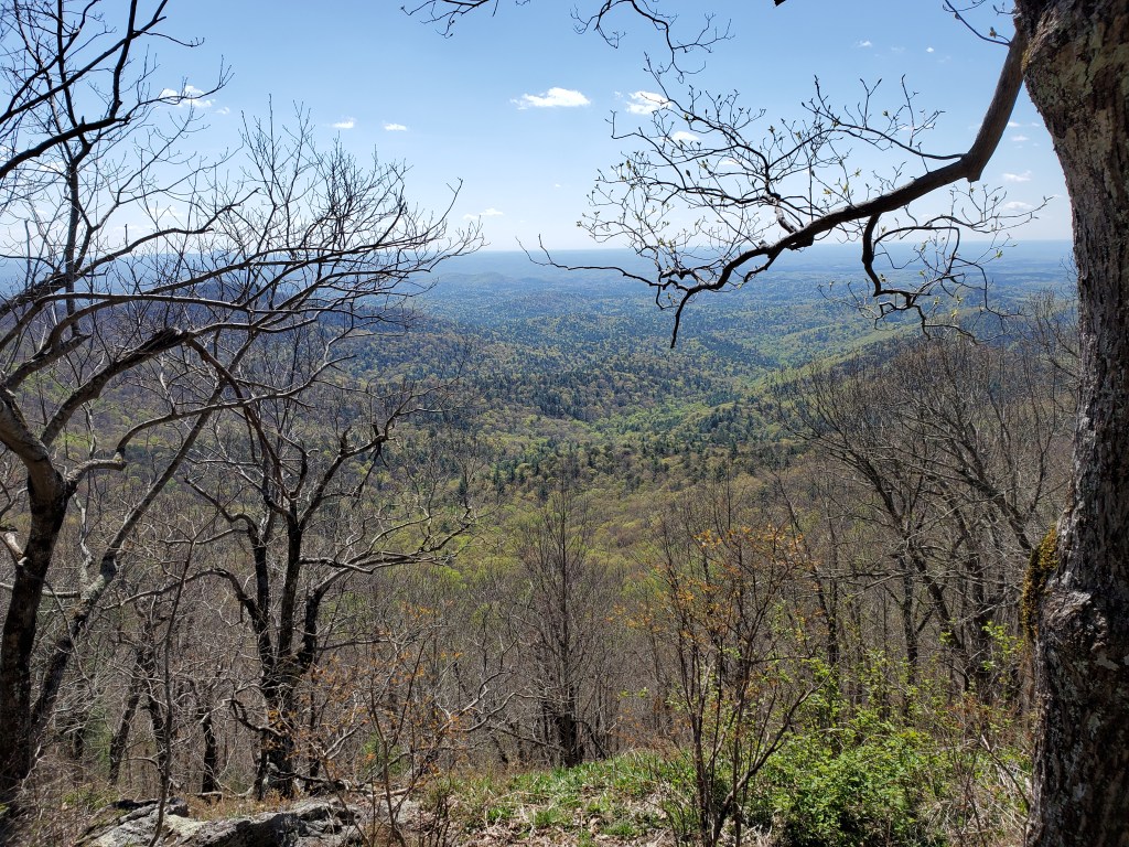
After about 2 miles, you come to Owen’s Overlook, one of the highlights of the day. You should definitely stop here if you’re on the trail. It’s a perfect place for a lunch or snack stop.
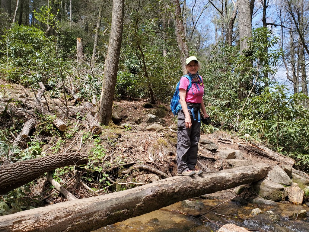
Section 1 of the BMT continues mostly downhill to its third junction with the Appalachian Trail at Three Forks.

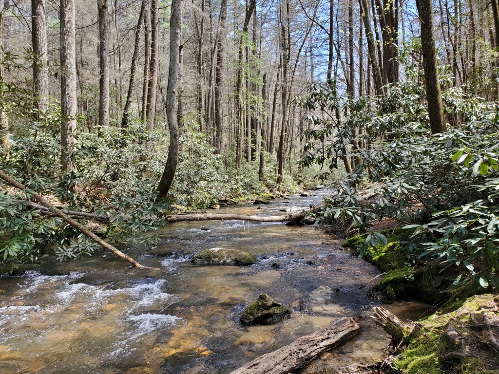
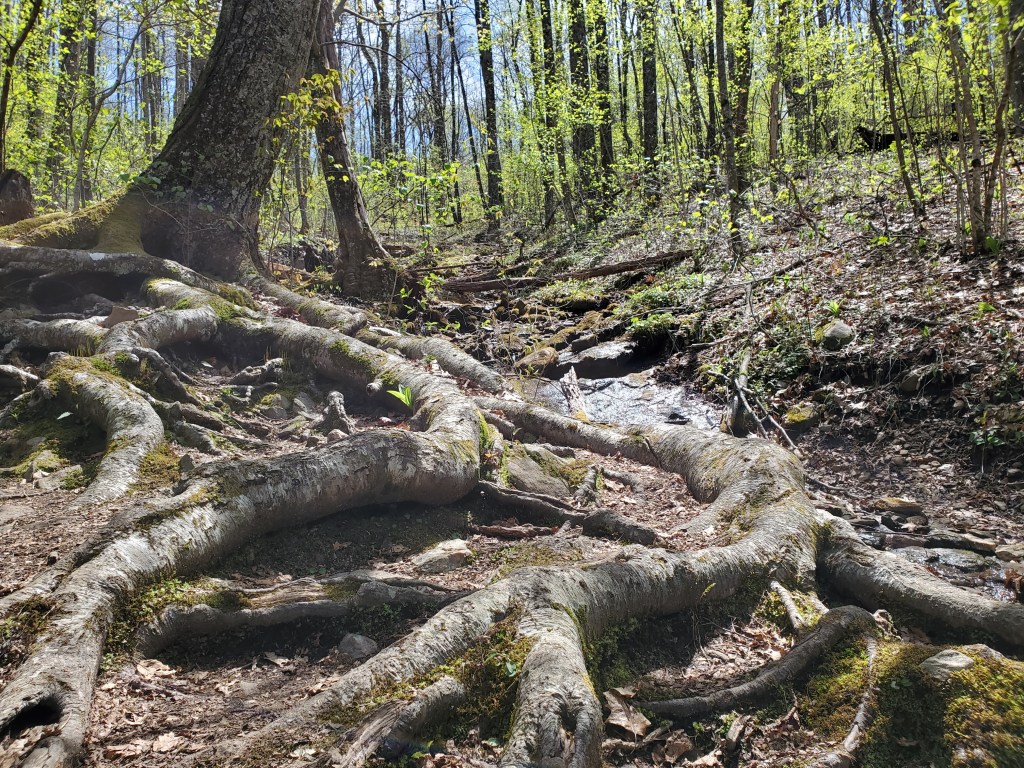
Three Forks is the junction of three creeks, Chester Creek, Stover Creek and Long Creek. The trail crosses Chester Creek on a bridge. The upstream view is especially beautiful.
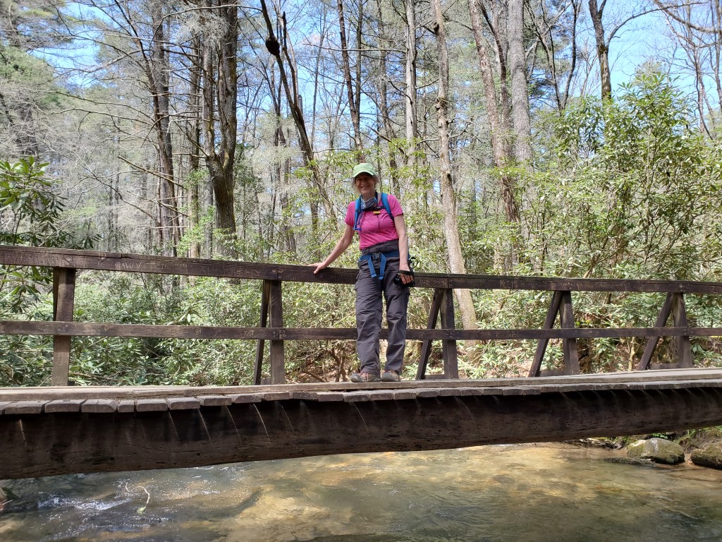
From Three Forks, we headed southbound on the AT to get back to the parking lot. It was really fun seeing through hikers starting out. The AT had a much wider tread than the BMT because it has much more use.
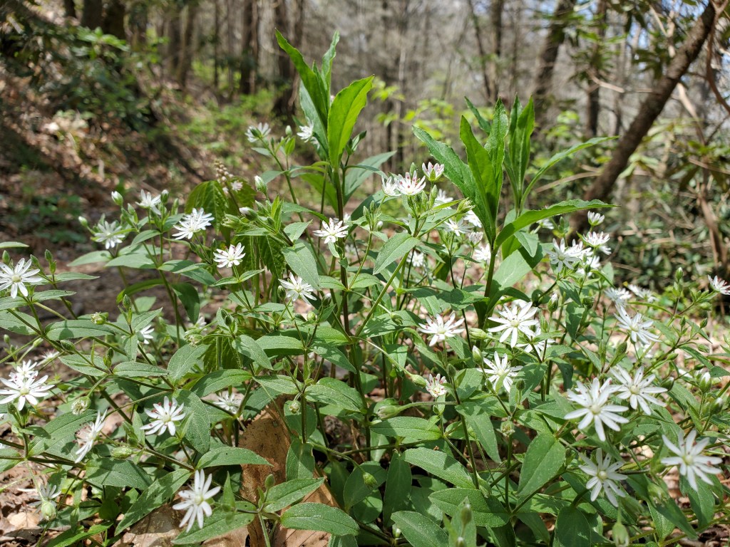
Here are some shots from along our way back to the parking lot.
With today’s hike completed, we’ve now section hiked the first 53 or so miles of the Benton MacKaye Trail. That leaves about 40 miles to go to complete our Spring goal of hiking all of the trail from the start Georgia to the Ocoee River in Tennessee.
