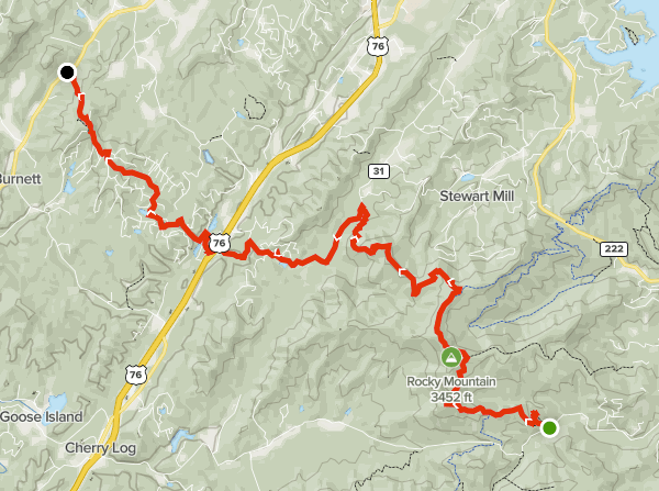
Summary
Distance: 12.55 miles
Elevation gain: 2,590 feet
Type: One way – shuttle
Start: Dirt road, passenger car accessible. (map)
End: Paved road, small dirt pull out. (map)
AllTrails map (here)
We’re still working on section hiking the Benton MacKaye Trail (BMT) northbound, and covered miles 40.8 to 53.5 today. Today was very interesting and varied, the first half of the day was on Forest Service land, while the second half was all private property. Given that it’s spring time in Georgia, we were also treated to spectacular wild flowers.
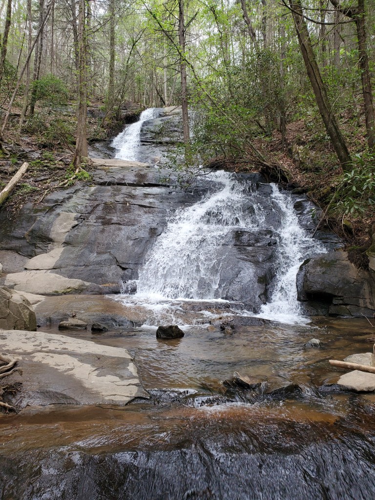
The starting trailhead is a very popular spot because of Fall Branch Falls, a beautiful 30 foot high waterfall. The falls are a short distance from the start, only about four tenths of a mile. There’s a nice viewing platform, but I liked the view better from the creek.
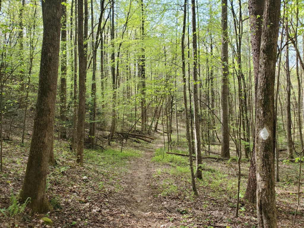
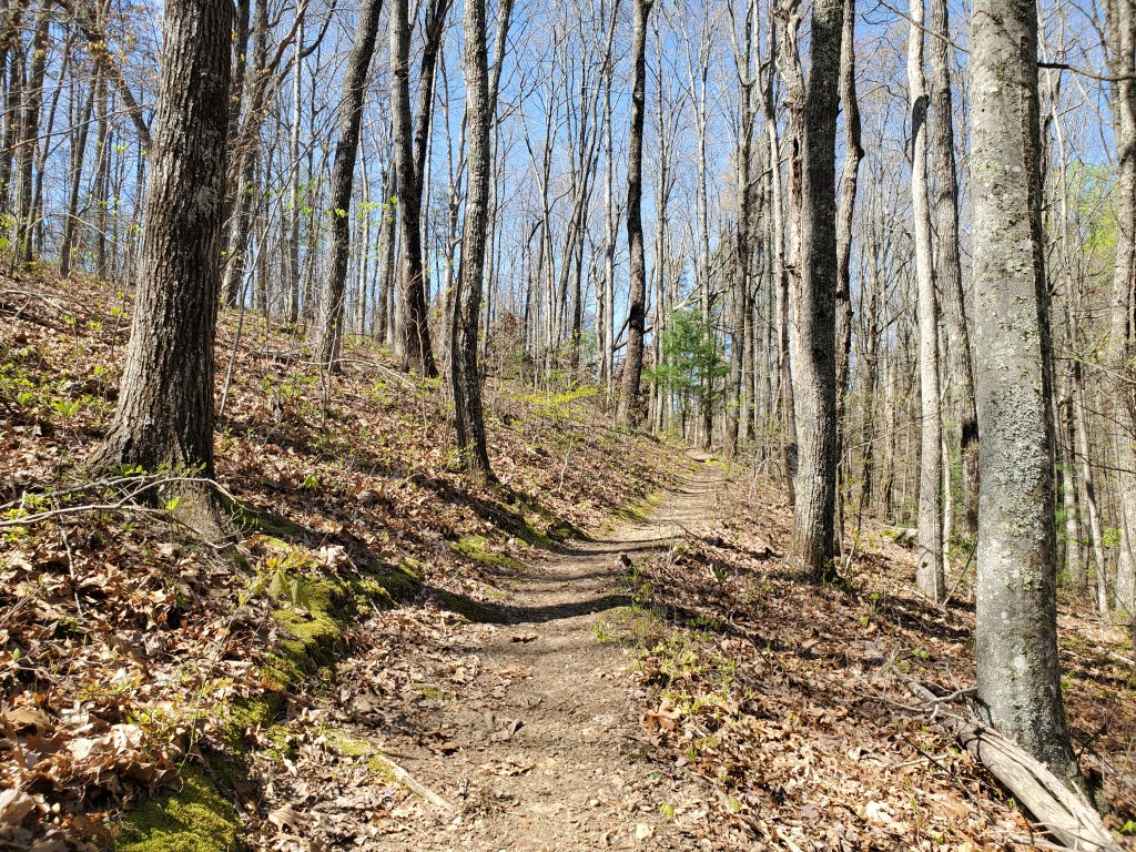
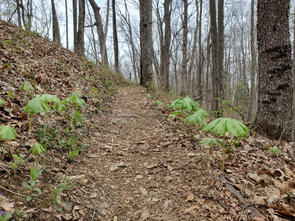
As has been our experience on the other sections of the BMT, the trail is very well maintained, and easy to follow.
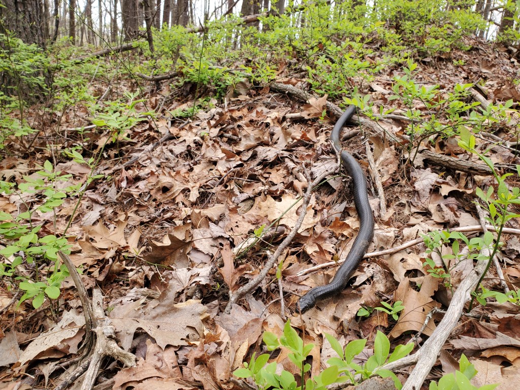
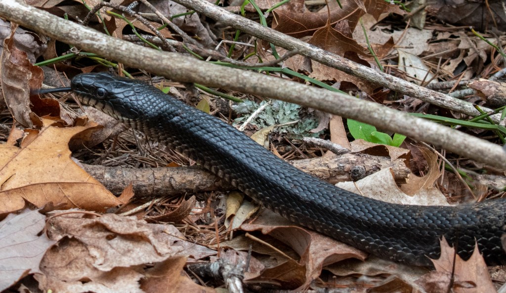
As we were climbing up the trail, we met a group of hikers coming down. They warned us about a 5 foot long snake in the trail. One of the hikers wanted me to do something about the snake with my trekking poles (“weapons” in her words) and seemed almost upset that I was so nonchalant. But, I knew from their description that is was non-venomous.
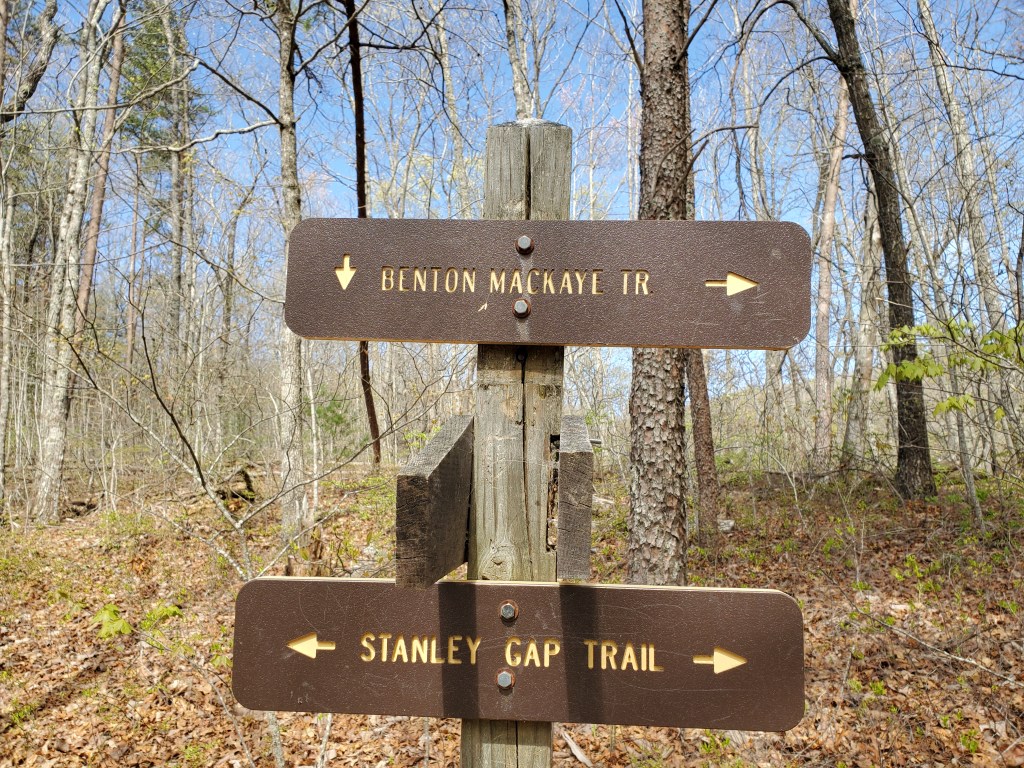
The BMT joins Stanley Gap Trail which is open to mountain biking. We saw one rider today, and the trail does not look like it has a lot of riders.
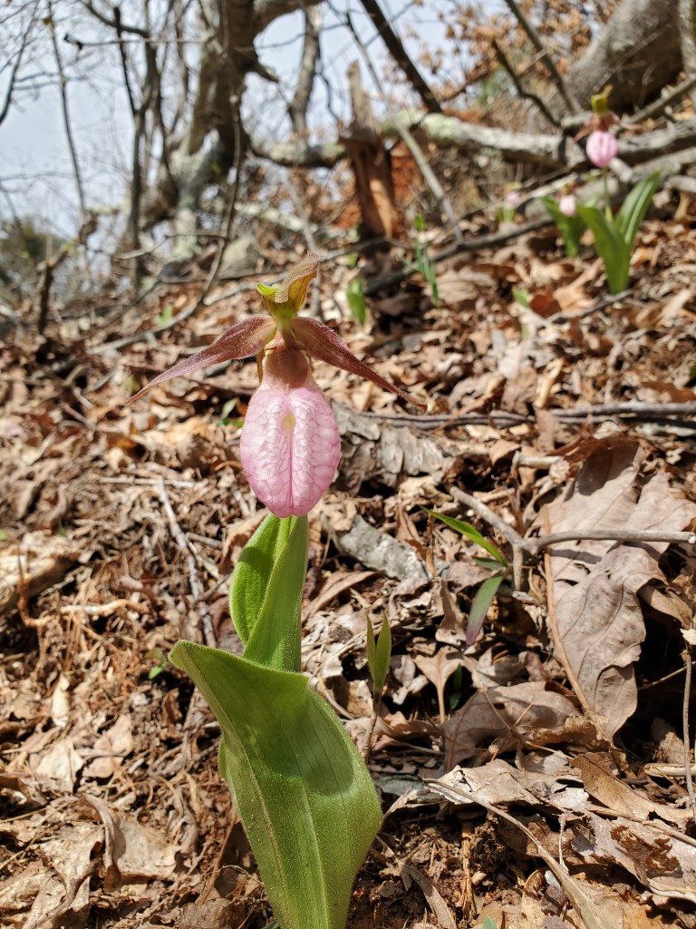
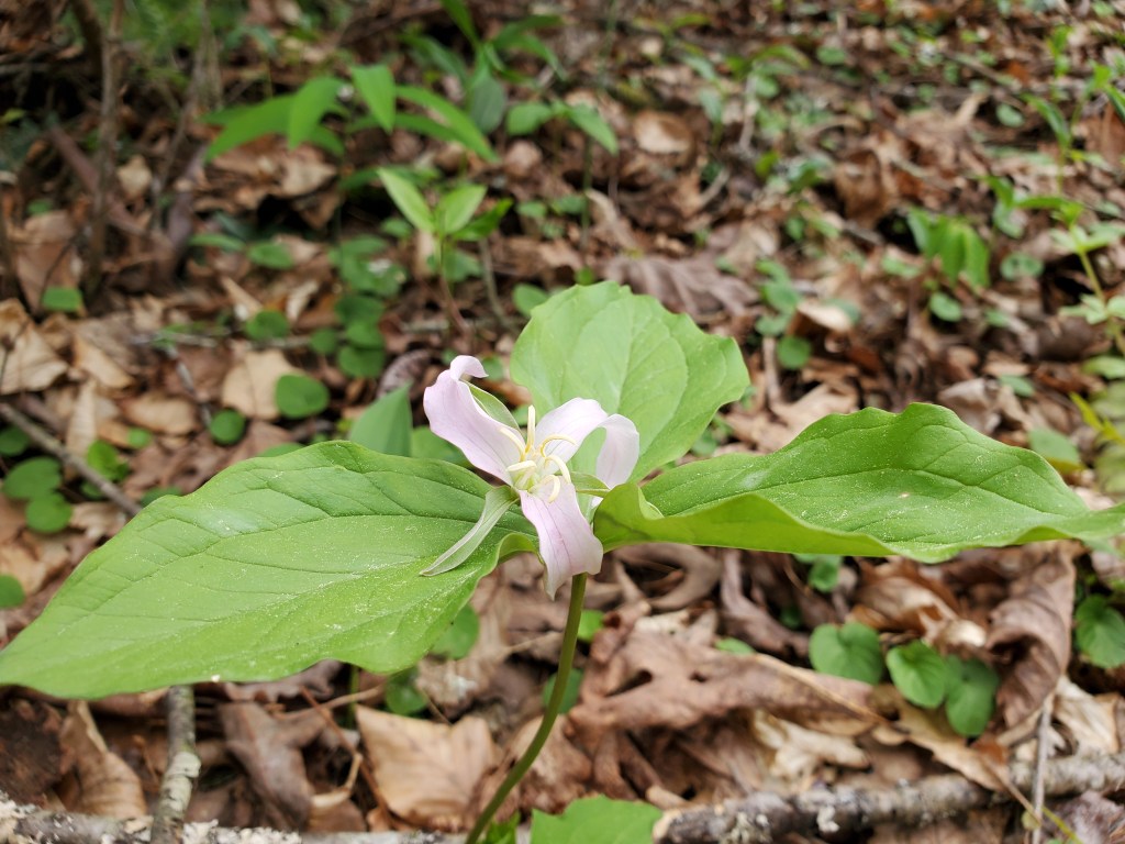
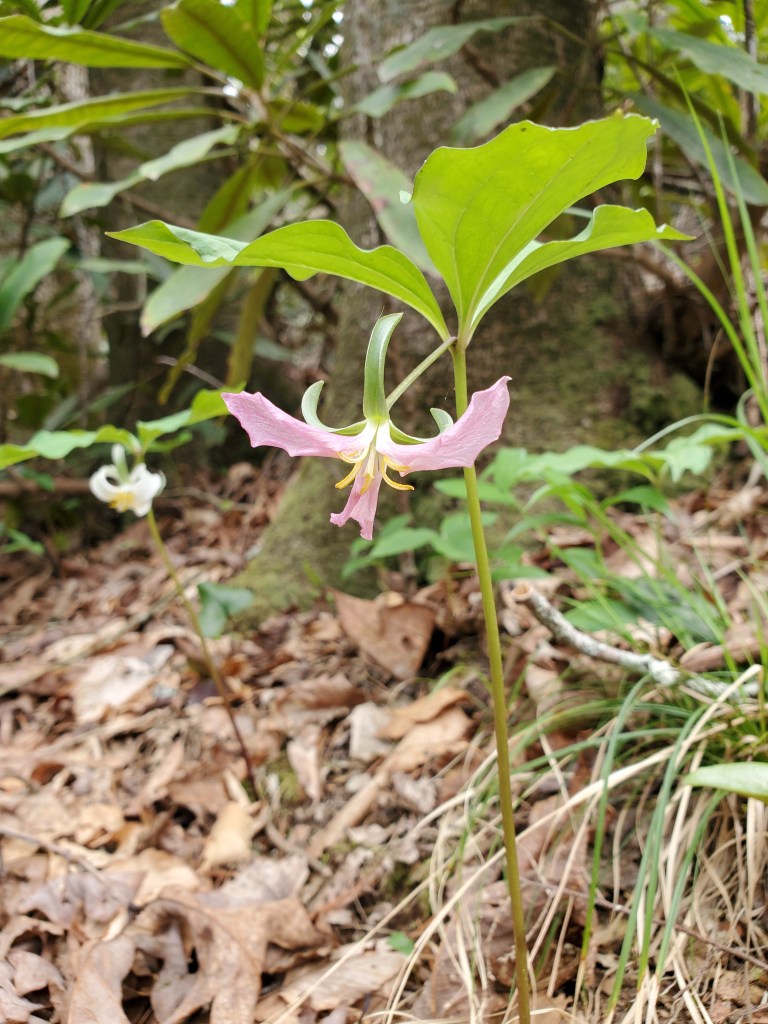
The rest of the trail down to the end of Section 6 at Weaver Creek Rd was great. There were lots of Spring wild flowers. I really enjoy the dwarf iris, pink lady slippers, and trillium.

When we reached Weaver Creek Rd, the public Forest Service land ended and the private property began. We ate lunch along the trail when it went through a large field. I love the different shades of green on the trees as they start putting out leaves.
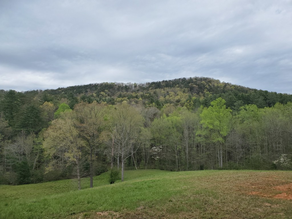
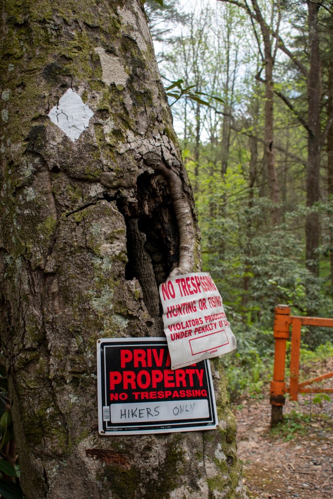
Photo: Anne Ledbetter
After the field, the trail followed various roads, some dirt and some paved. There were numerous houses along the way and even a bed and breakfast. We eventually came to Hwy 76 south of Blue Ridge. The crossing was easy even though it is a high speed 4-lane road.
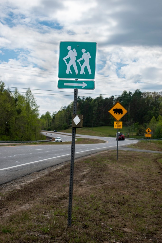
Photo: Anne Ledbetter
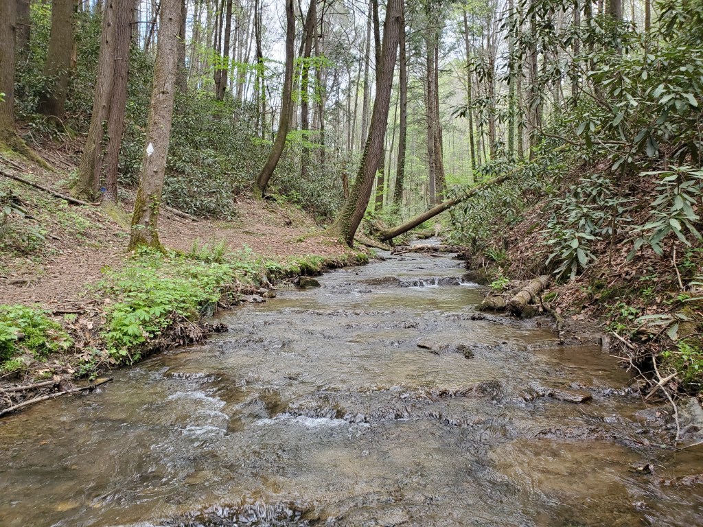
The trail continued through private property all the way to Boardtown Road. It seemed like we were walking through a planned mountain community, again walking on a variety of roads in addition to trails. It was always easy to find the trail, even if it took a few moments to sort out a turn once in a while. The trail followed a beautiful stream for a while, but you could hear cars on a road above.
There is a trail shelter on the property too. The shelter is very well built, and has a fire pit and a stream running by it. However, the shelter feels very close to surrounding houses. I could see three houses on a nearby ridge and hear music coming from another. There was no privy available, so I wouldn’t have felt comfortable staying there. The stream felt very dubious as a water source as the residents used the trail for walking their dogs. If I were through hiking, I would try to stay at a very nice campsite at around mile 47, just before reaching Weaver Creek Rd, and then hike over the private property to get back in Forest Service land.

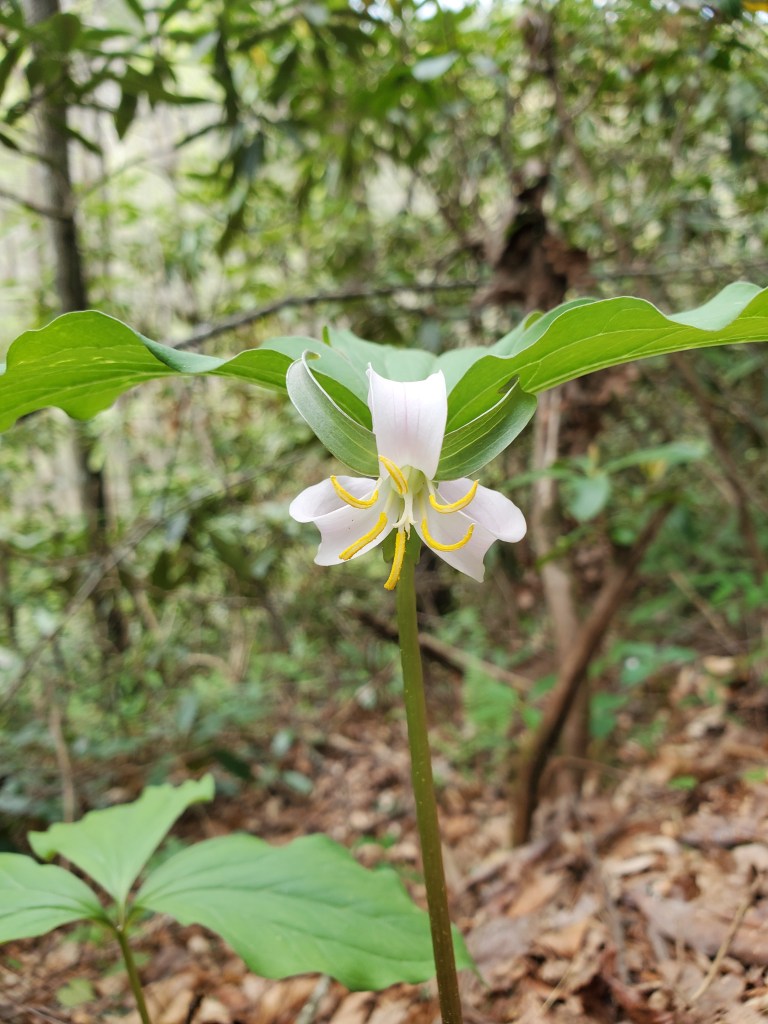
More trillium along the way.
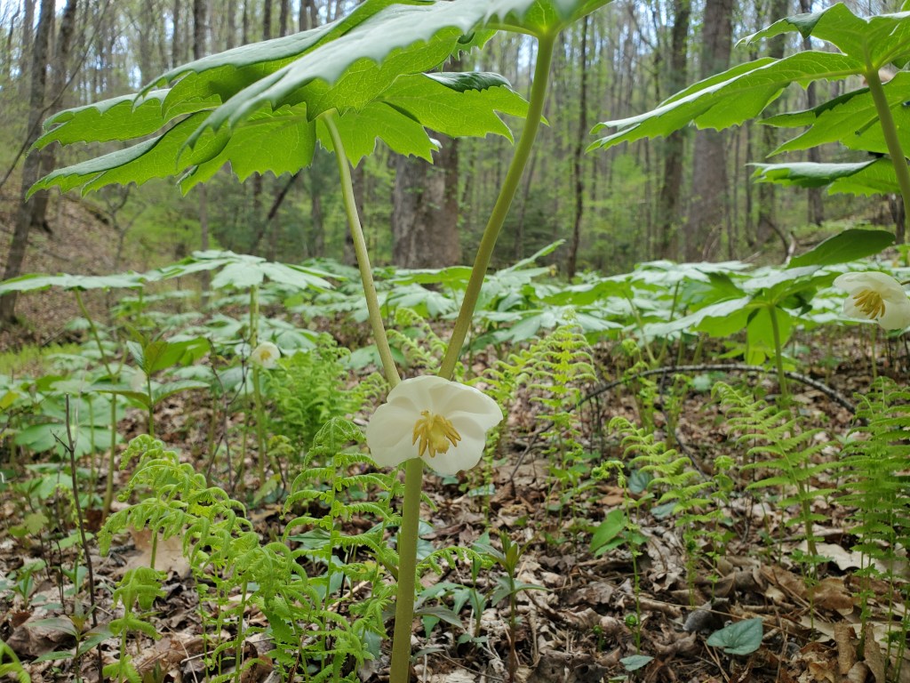
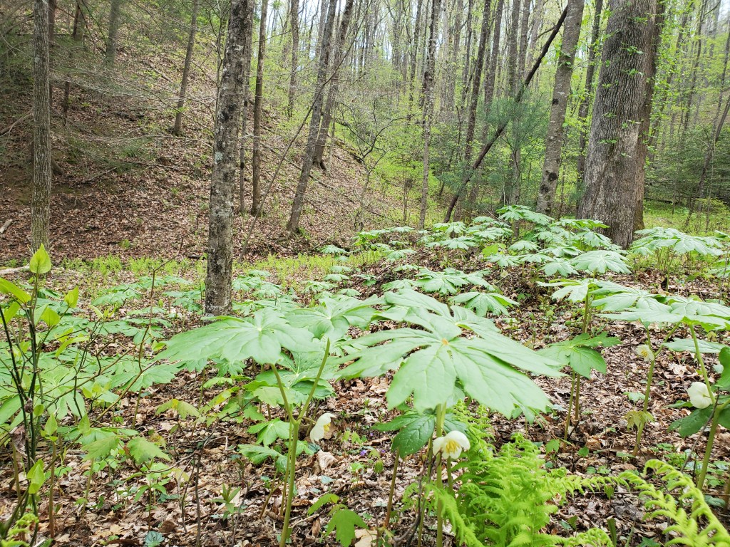
Mayapples are another one of my favorite Spring wild flowers. Their white flowers are hidden below the leaves, and you almost always see them growing in patches.
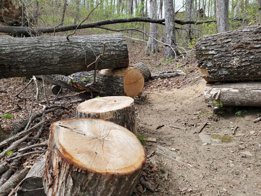
The Benton MacKaye Trail Association folks do a great job in keeping the trail cleared of fallen trees. Here’s a large tree that must have been difficult to clear.
This was a great Spring hike. The woods are starting to get green and were spectacular when the sun popped out.