Summary
Distance: 10.7 miles
Elevation gain: 2,966 feet
Type: Out and back
Trailhead: Paved lot, very steep road. (map)
AllTrails map (here)
We finished the Georgia 4000 Challenge with this hike, and it was an epic finish.
I think this was the most physically demanding peak bagging hike. It also traveled a very interesting route and had some great views. We chose to start our hike from Bell Knob, a public park near Hiawassee. The advantage of starting here is that the property is public, but the disadvantage is that it is on the top of a mountain. And, as it turned out, we underestimated the difficulty of the descent to get to the “normal” route. That route is not available to us because we do not have a high clearance four wheel drive.
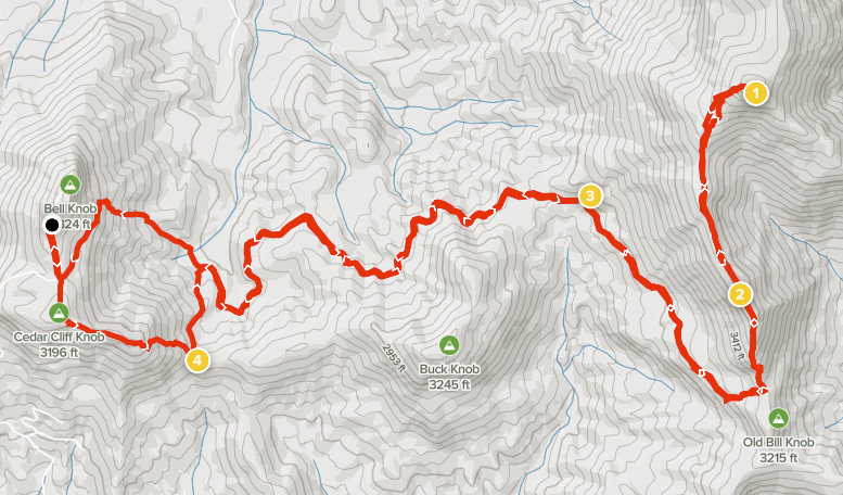
We scouted Bell Knob a few months ago to help us plan an Eagle Mountain ascent. I have a post that talks about that trip. We decided to follow a route from Cedar Cliff Knob to Bell Gap (#4 on the map). That descent was incredibly difficult, and so steep in places that I just slid down on my buttocks like I was on snow. The goal was a quick descent to a four-wheeler trail running through Bell Gap, but it took way more time and effort than planned.
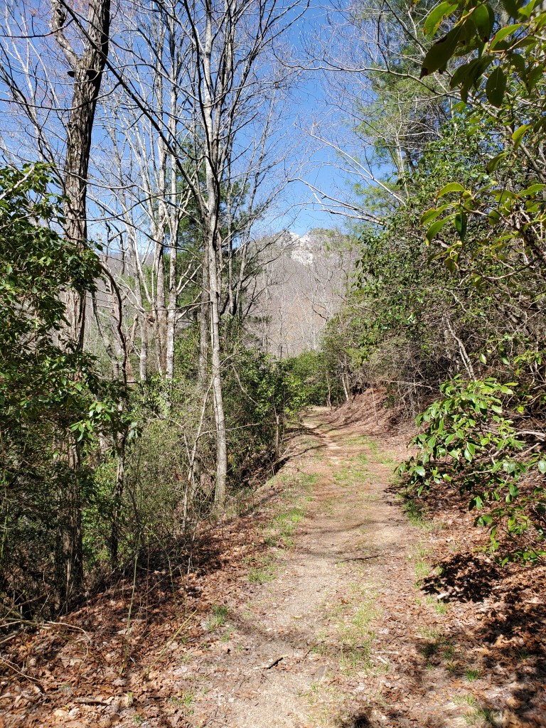
Once we reached Bell Gap, we descended the four wheeler trail to a Forest Service road that we would use for the next 2.8 miles. We needed to leave the road to reach a low spot on Hollifield Ridge that is just north of Old Bill Knob. The climb to the ridge is easiest here.
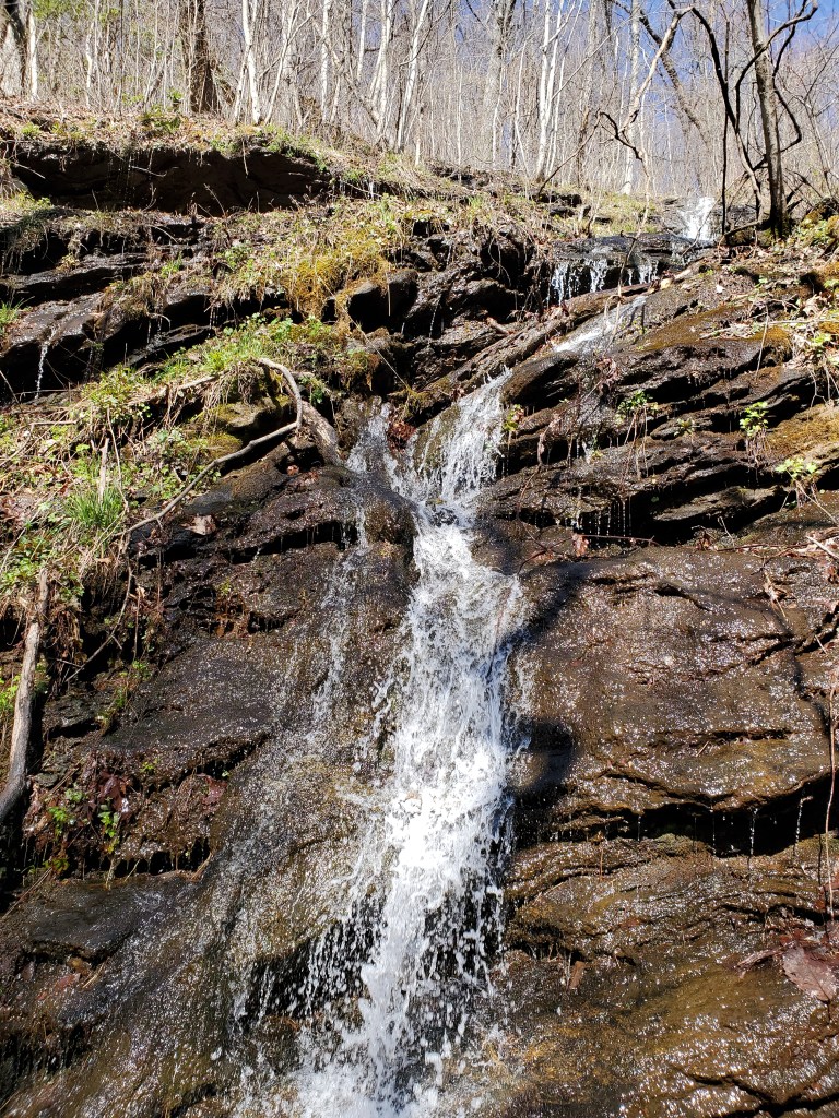
A waterfall along the Forest Service road, point #3 on the map
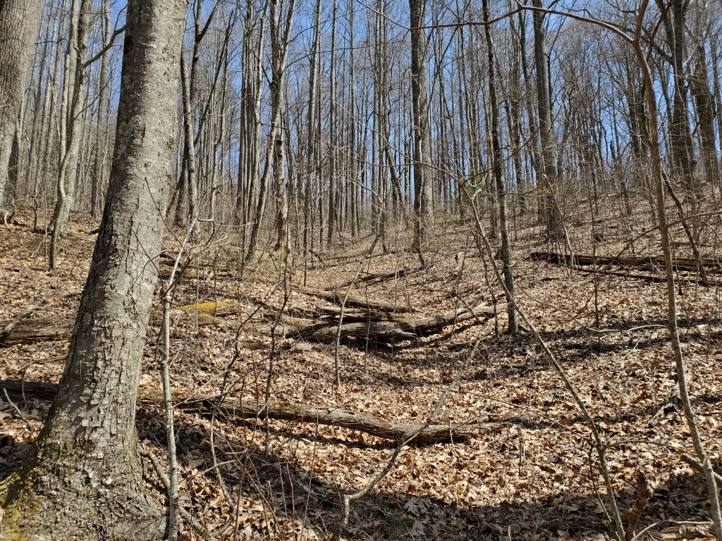
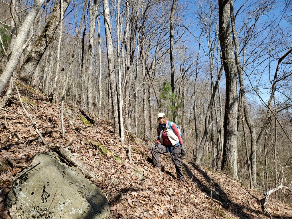
Once we made it up to the ridge, we needed to make our way around the first rock outcrop of the day. There was a path to follow so we had an easy time climbing. For the most part, the ridge was open with a fairly well defined path, but the path would disappear if a tree had fallen or the vegetation got thick. This was especially true as we neared the summit. Our gps track shows two paths, we climbed on the eastern line and descended on the western. For those who may climb Eagle Mountain — take the western side, the east was an unpleasant tangle of blackberry canes.
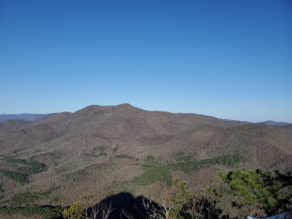
Once on the summit, we made our way a short distance to the top of a large cliff. The views were amazing.
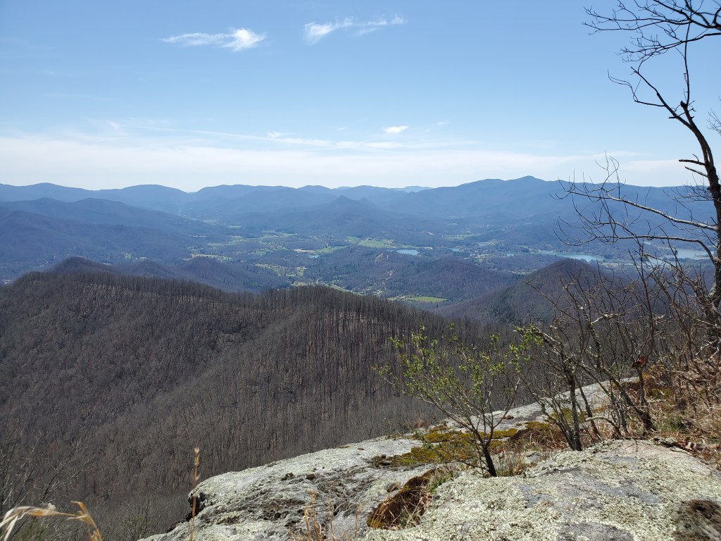
On our way back down the ridge, we stopped at another rock outcrop (point #2 on the map) that gave great views to the west. You can really see the effects of mining on Bell Knob.
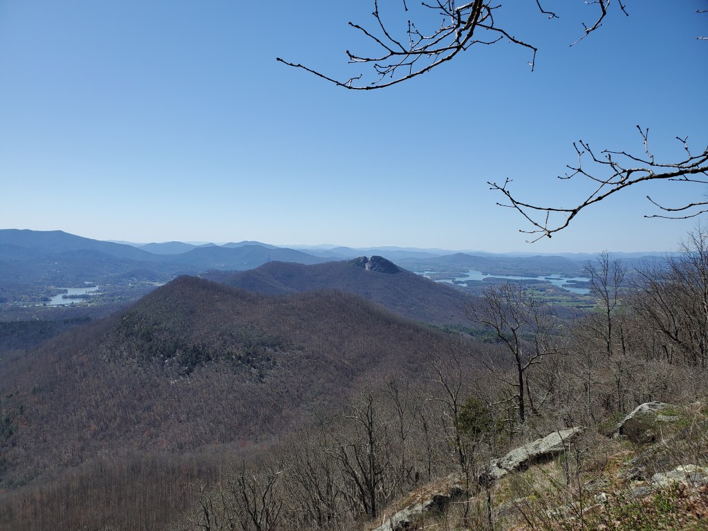
We retraced our path back to where the four wheeler trail meets the forest service road, and then continued past the gate. We had descended a route from Bell Knob to that point on our last exploratory visit, and, after our difficult descent, we wanted to try climb that route back to our car. As it turned out, that route was also very steep and difficult – we spent 35 minutes climbing four tenths of a mile, sometimes on all fours. As we neared the top, we were able to use an old road to finish the climb. We parked our car at the lower lot on Bell Knob. You can drive to the upper lot, so we asked someone who was walking down if there were open parking spaces at the top. Thankfully, we were able to drive up the last steep pitch. The views from the Bell Knob summit are spectacular too.

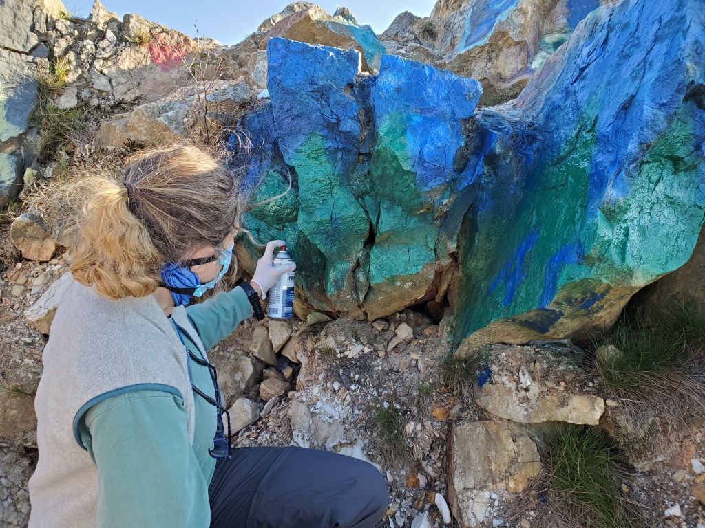
Bell Knob is famous for its graffiti, and in keeping with that tradition, Anne added a tribute to our completing the Georgia 4000 Challenge. The mountains are green and the sky is blue.