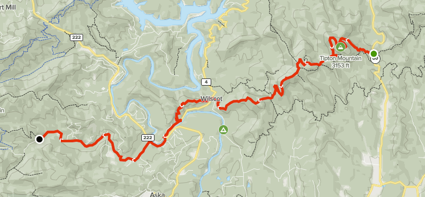
Summary
Distance: 11.4 miles
Elevation gain: 2,090 feet
Type: One way, shuttle
Start: Dirt parking off paved road (map)
End: Dirt road, passenger car accessible. (map)
AllTrails map: here
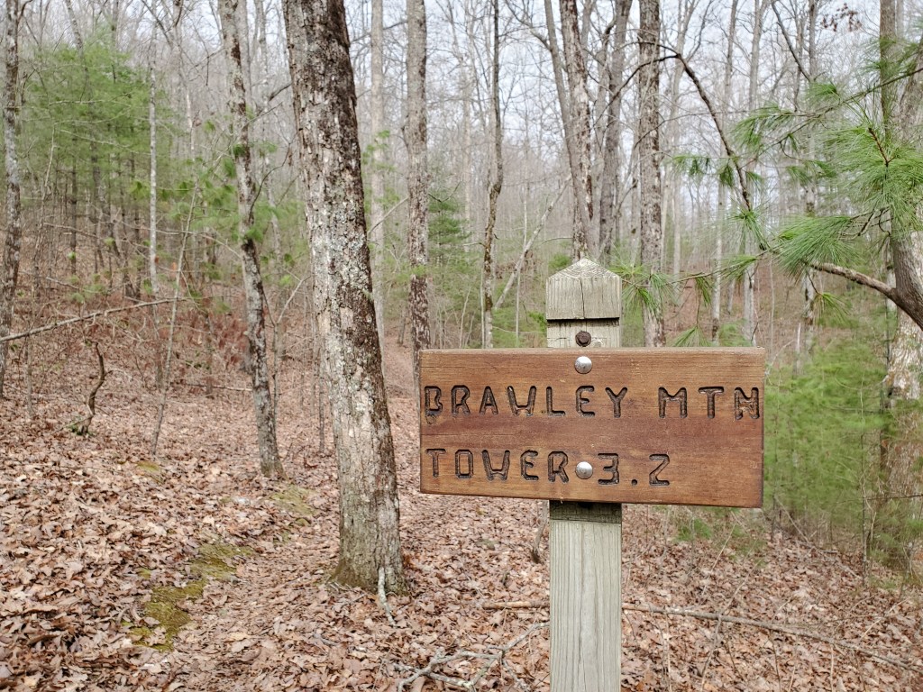
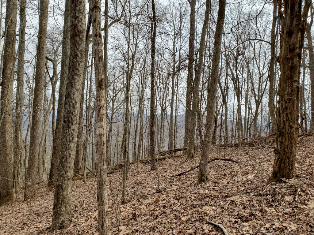
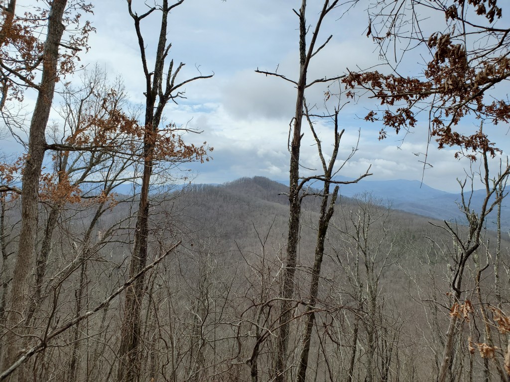
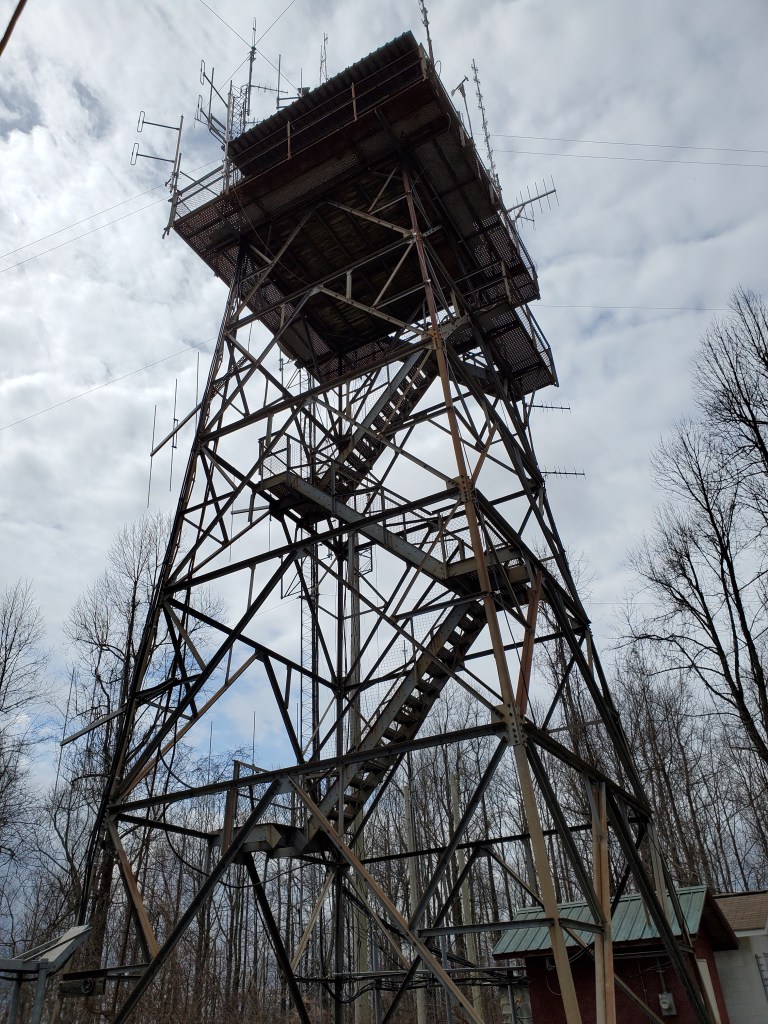
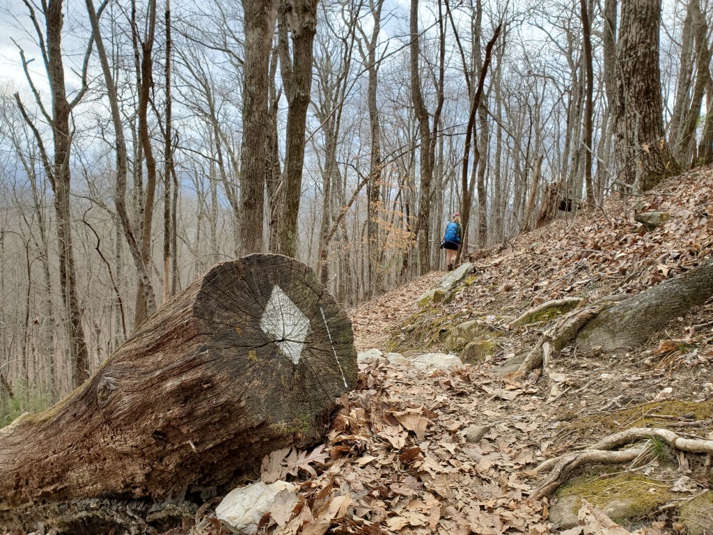
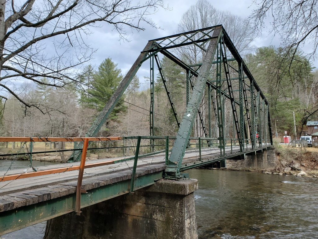
This is my second day of working on my goal to section hike the Benton MacKaye trail from its start on Springer Mountain to the Tennessee state line. This hike continues from where we left off last time, Wilscot Gap on Hwy 60. As expected, the trail is well maintained and easy to follow. Heading out of the gap, the trail climbs steadily to the summit of Tipton Mountain where you can see glimpses of Lake Blue Ridge through the trees. After a descent into a saddle, the next climb is the to summit of Brawley Mountain which has an old fire tower. Eventually, the trail comes down to the Toccoa River, and then continues along paved roads to the Fall Creek Falls trailhead, the end on this hike.


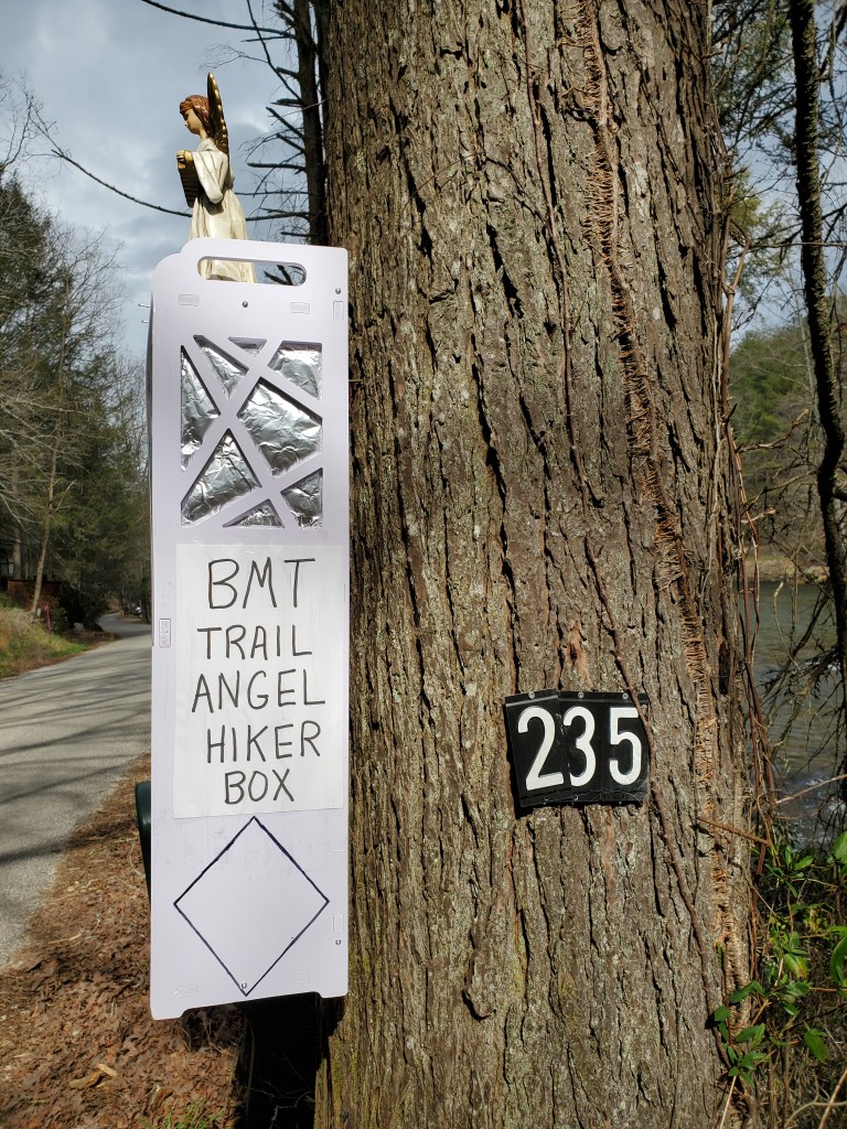
In hiker jargon, “trail magic” is an unexpected item or occurrence that brings joy. A “trail angel” is someone who provides trail magic. The magic here was candy bars, energy bars, and, in this covid-19 era, bottles of hand sanitizer.
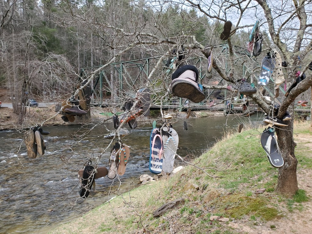
When you come to the river, there are restaurants and tubing services. This tree seems to display items lost on the river.