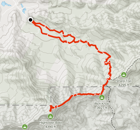
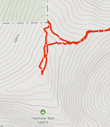
Summary
Distance: 9.3 miles
Elevation gain: 3,156 feet
Type: Out and back
Trailhead: Dirt road, passenger car accessible. (map)
AllTrails map
Today was a successful peak bagging day. After a cloudy start, we enjoyed a beautiful spring day in the mountains and climbed Rich Knob at 4,152 feet high and Hightower Bald at 4,588 feet. I think this may be my favorite peak bagging hike so far. The highlight of the day was walking along narrow ridges between Rich and Hightower. After summiting Hightower, we took a short side trip to find Montgomery Corner, a small, but interesting diversion in the Georgia/North Carolina border. Here’s an interesting article about Georgia’s northern border.
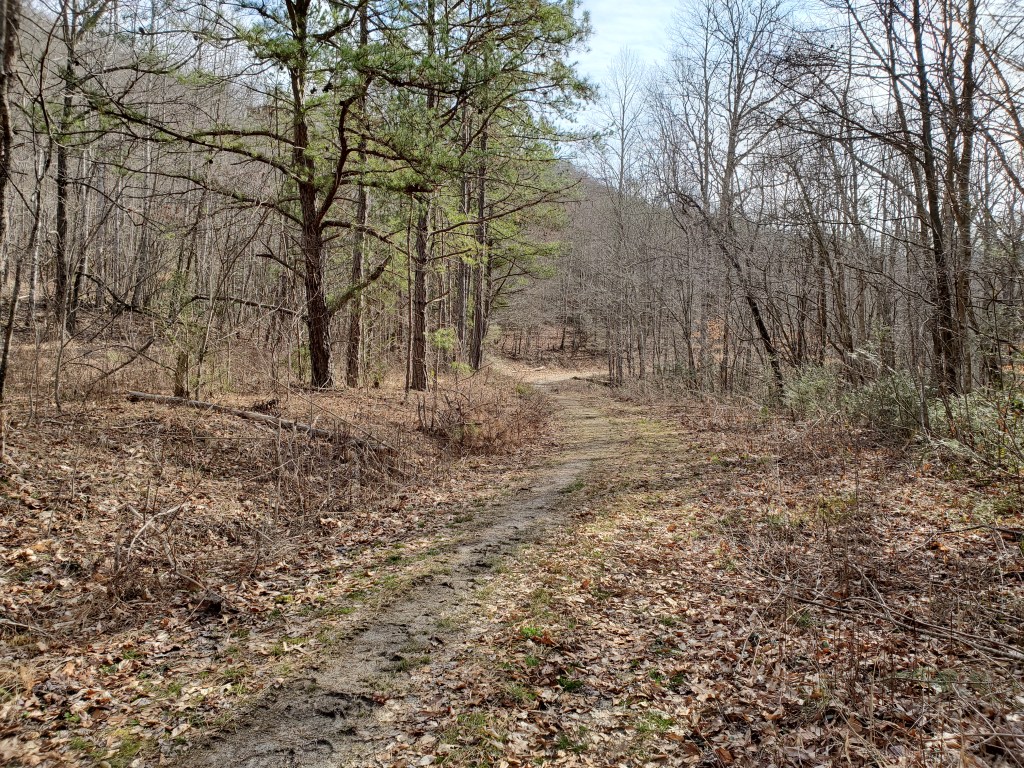
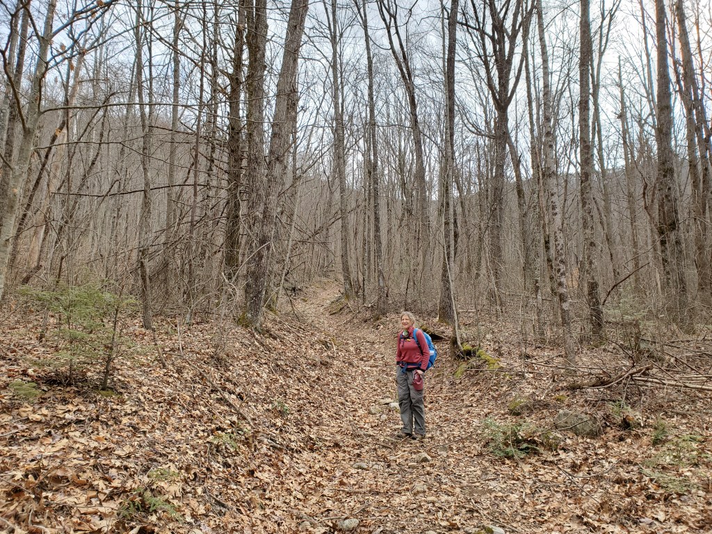
The hike follows roads all the way to Bly Gap on the AT. The first road is wide and smooth. Horseback riders use the first mile or so of the road before they head off on side trails.
Shortly after a small field that could be a wildlife opening — an area that is planted to provide food for animals — the trail joins a much older road that will continue to Bly Gap.
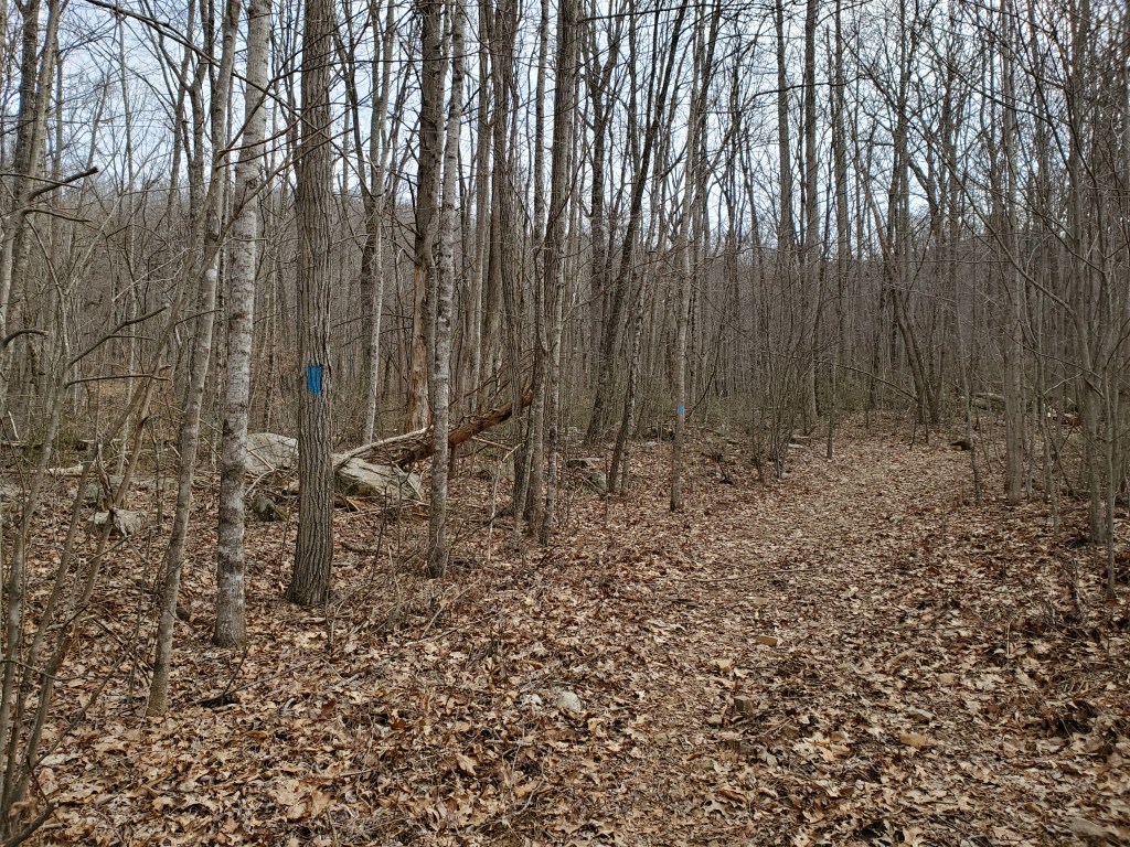
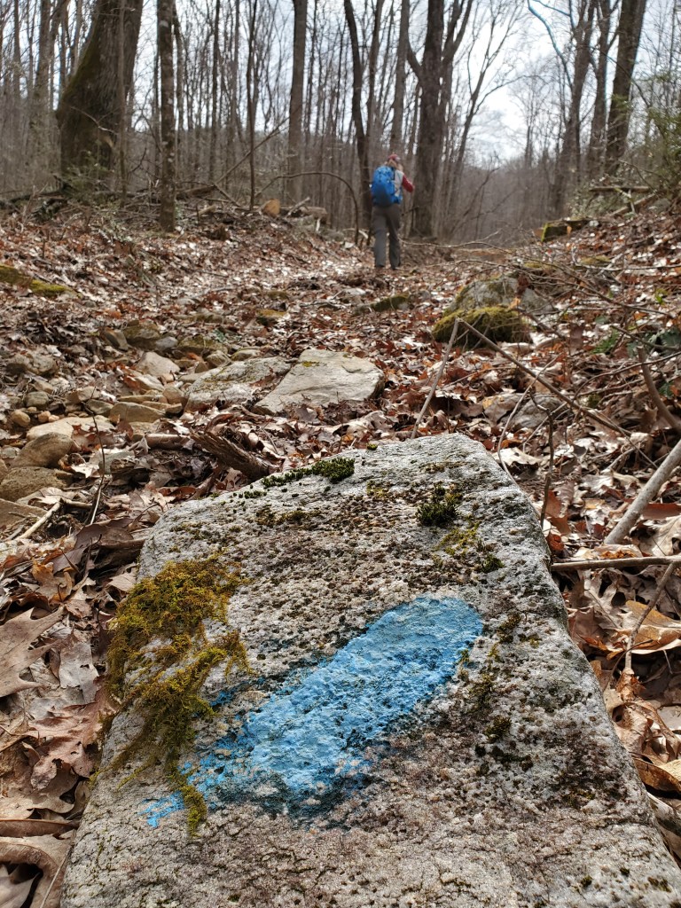
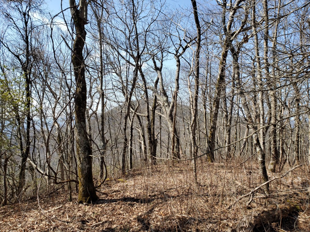
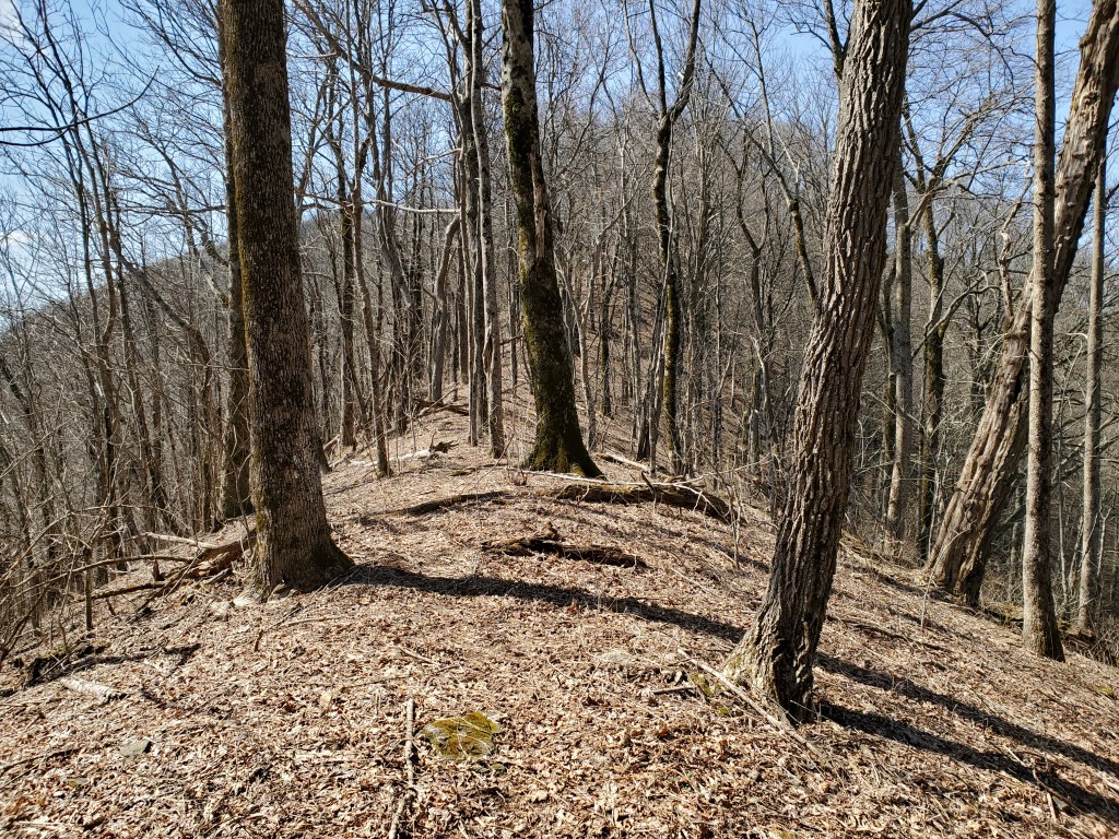
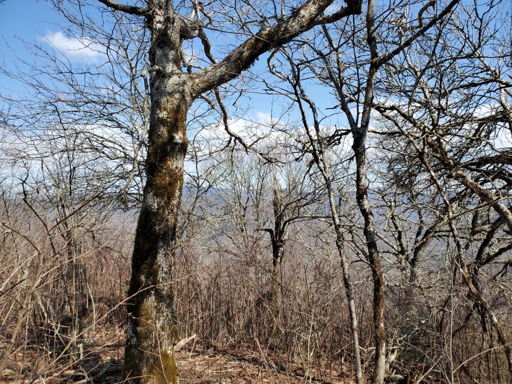
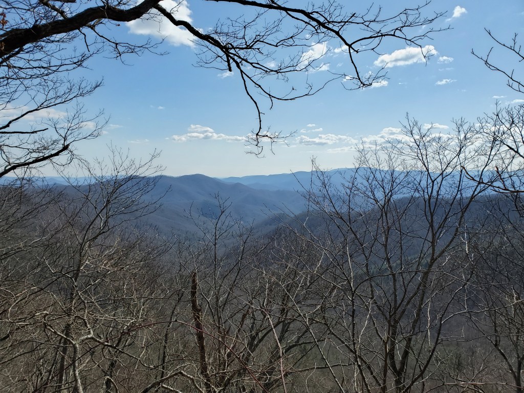
We headed south on the AT for about 100 yards before starting the mile and a half of bushwhack that would take us to the summits of Rich Knob and Hightower Bald. The climb to Rich was pretty easy and mostly open with only a few briers near the summit. Then, the ridge walk from Rich to Hightower was fantastic with open woods and partial views of the surrounding mountains. There was a pretty distinct trail from Rich to Hightower that made walking a little easier. But, the last quarter of a mile to the summit of Hightower was a bit of a struggle through thick vegetation and blackberry briers.
Here’s a detailed view of our side trip to Montgomery Corner. We didn’t find a marker or any indication for the corner and just relied on our GPS to get us there. We did come across a geo cache nearby, though.

We noticed a horse trail that left the road when we were headed up to the AT, and decided to explore it on our way back. I’m glad that we explored and know where the trail goes, but I would not recommend hiking that trail. It was a muddy mess with all the rain we’ve had lately.
All in all, this was a great day in the woods. We knocked out 2 more GA 4000 Challenge peaks; 28 down, 4 to go.

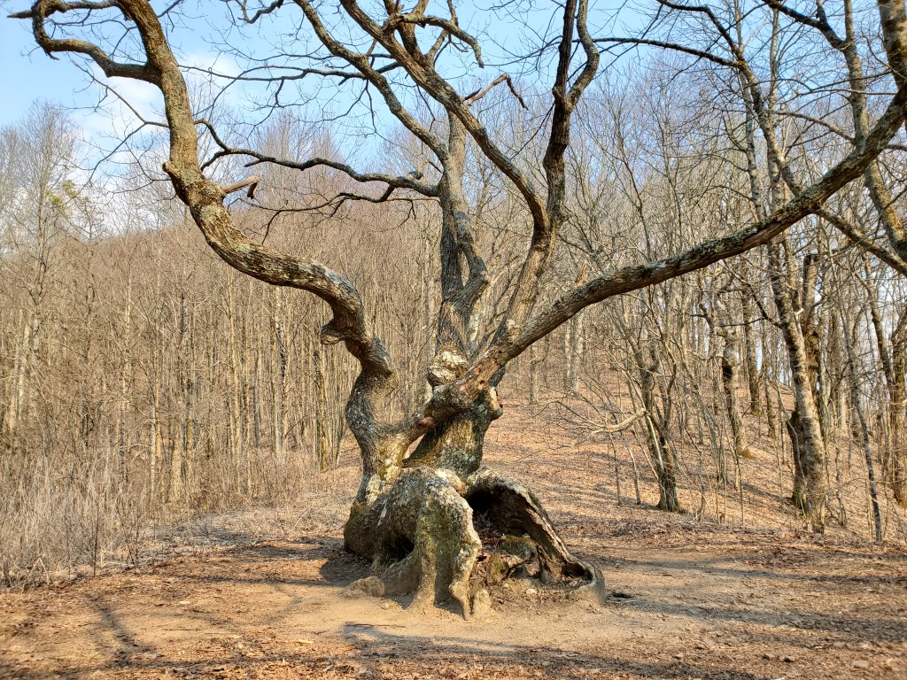
Loved the “gnarled” oak tree at Bly Gap. Looks like you had a great time.
LikeLike