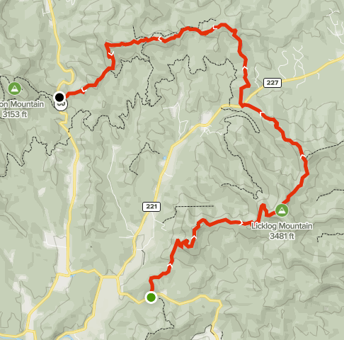
Summary
Distance: 11.1 miles
Elevation gain: 3,291 feet
Type: One way, shuttle
Start: Gravel pull off from paved road. (map)
End: Gravel pull off from paved road. (map)
The Benton MacKaye trail (https://bmta.org/) starts near the summit of Springer Mountain and extends around 300 miles to Davenport Gap on the northeast side of the Smoky Mountains. I plan to section hike the trail in Georgia, a distance of almost 90 miles. I’ll day hike some sections of the trail and backpack others. This was day one.
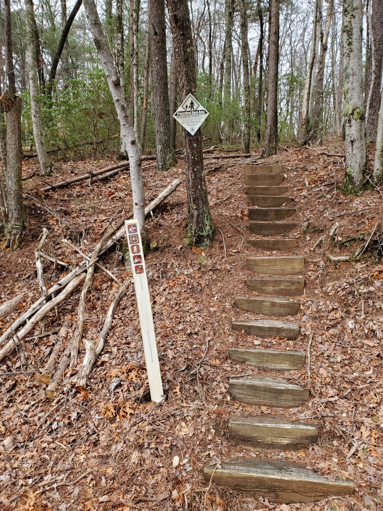
This was a fairly difficult hike with a lot of elevation change. The trail was easy to follow with its signature white diamond blazes and well used tread. AllTrails map here.

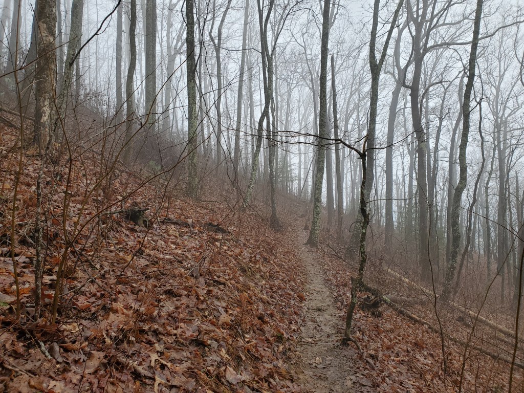
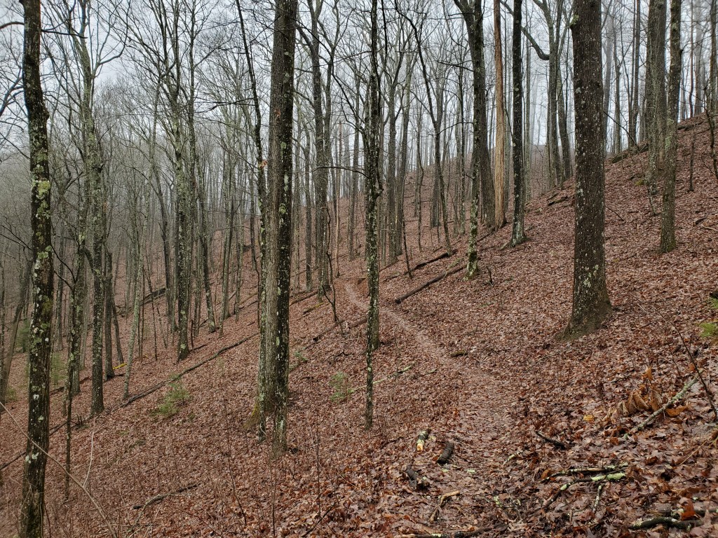
Climbing to Wallalah Mountain in the fog 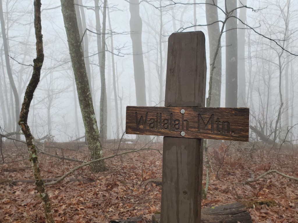
Wallalah summit, elevation: 3,091 ft
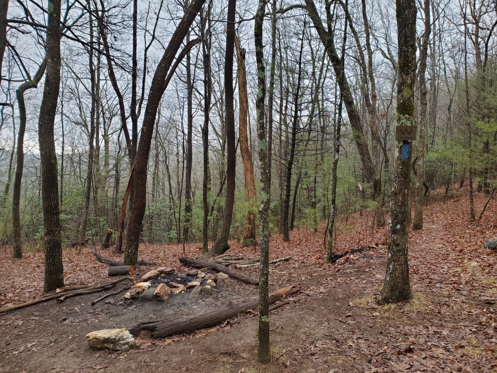
The next climb is Licklog Mountain, with an elevation of 3, 481 ft. I’ve seen the name Licklog in a number of places over the years, and finally decided to investigate the name. I learned that herders once made salt licks by placing salt for their cattle in indentations that they cut into fallen trees. About a quarter of a mile past the summit of Licklog, there are a few nice campsites. There’s a sign showing the way to a water source, but we did not investigate it.
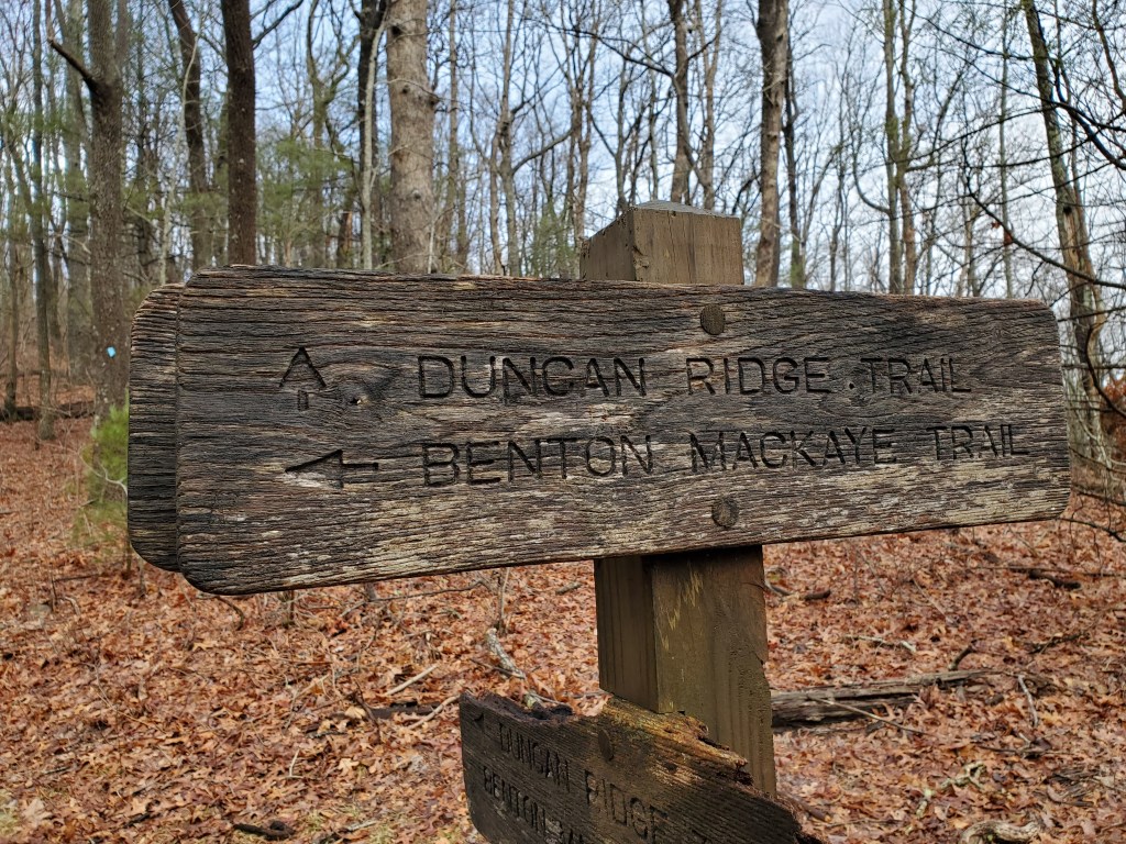
There is a left turn at the junction with Duncan Ridge Trail. The trail gets more rocky before using an old roadbed to descend to Skeenah Gap, the end of Section 3.
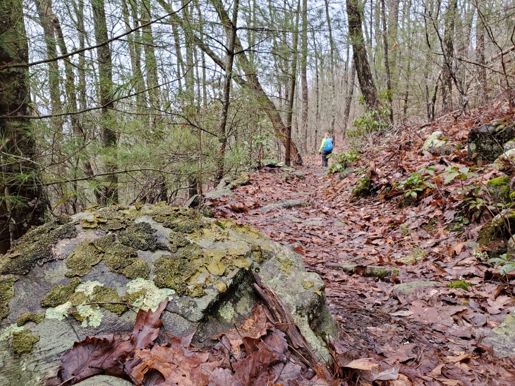
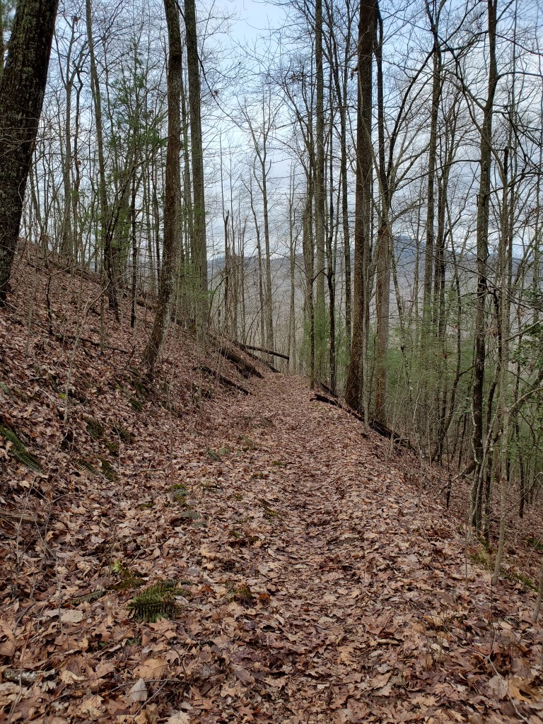
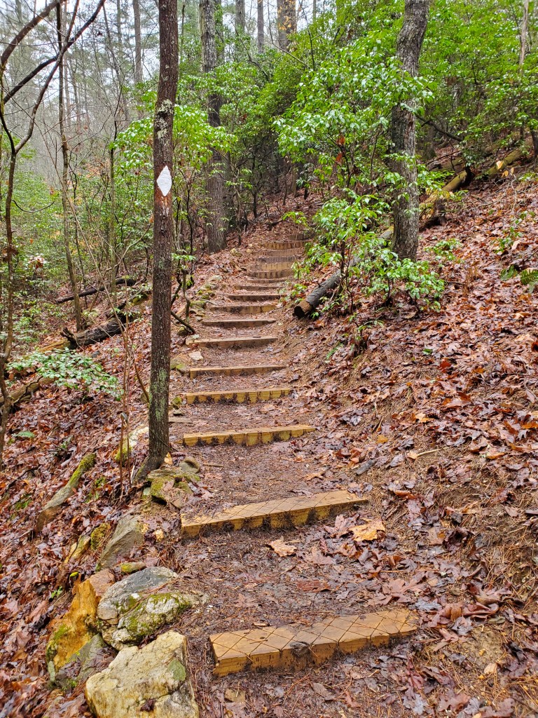
Section 4 starts in Skeenah Gap and heads to Wilscot Gap. This section felt a little more “old school” with a more narrow tread and routes directly up or down ridges. Some newer trails will take longer paths with switchbacks instead. With that said, it was really quite enjoyable. The morning fog had finally dissipated giving us some winter views of the surrounding mountains.
Leaving the paved road in Skeenah Gap 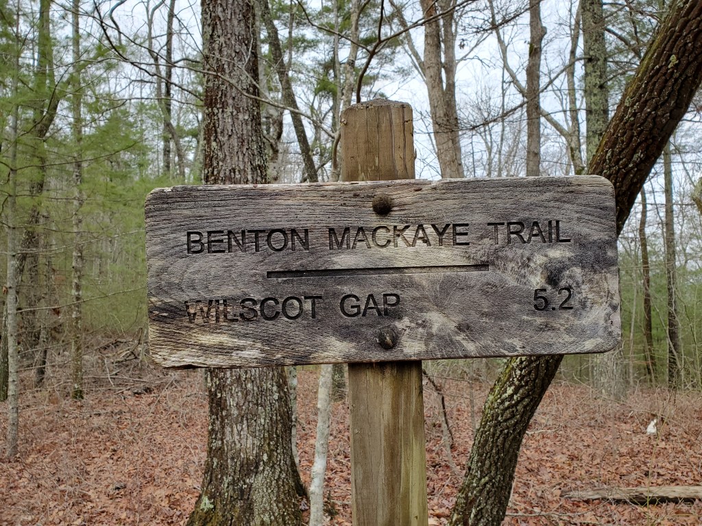
Starting in the woods
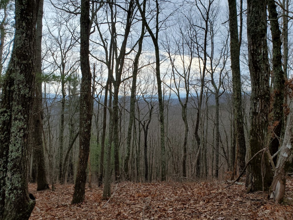
Overall, this was a very enjoyable day. There weren’t any sweeping vistas given the fog or dramatic waterfalls, but it was a nice, peaceful day in the woods. 11 miles down, 80-ish to go on the Georgia section of the Benton MacKaye Trail.

Nice description and beautiful photos! Especially the one while hiking up Wallalah Mountain in the fog.
Thanks for sharing
LikeLike