Summary
Distance: 3.9 miles
Elevation gain: 1,490 feet
Type: Exploratory
Trailhead: Paved lot, very steep and winding road. (map)
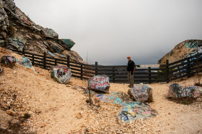
This hike was another attempt to find access to Eagle Mountain, one of the GA 4000 peaks. We attempted to drive up Bell Gap Road a few weeks ago, but it was way too rough for my car. Most of the area surrounding the Southern Nantahala Wilderness is private property. Bell Knob, near Hiawassee, is a public park that is famous for spectacular views and graffiti, and, I was hoping, would give access to Forest Service land.
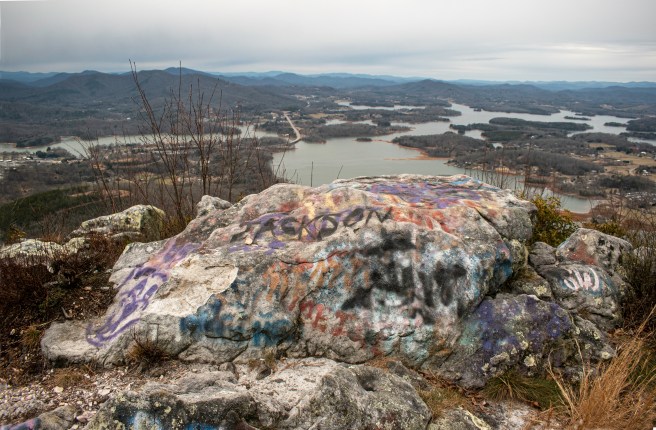
We wanted to see the summit of Bell Knob. So, after our exploration, we walked up from the lower parking area. The views really were spectacular. I’m not normally a fan of graffiti, but, here, it really added to the experience.

Here’s a map of our exploration with an AllTrails link.
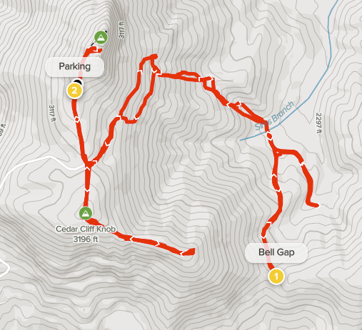
The exploration was interesting and overall a pleasant day in the woods. I think that if we don’t find any better access to Eagle Mountain, we’ll use a route that heads east on the spur from Cedar Cliff Knob to Bell Gap. There is a 4-wheeler trail heading north from Bell Gap to the FS road that heads toward Ben Gap and Eagle Mountain. This will be a steep bushwhack, but seems to be the best option from Bell Knob.
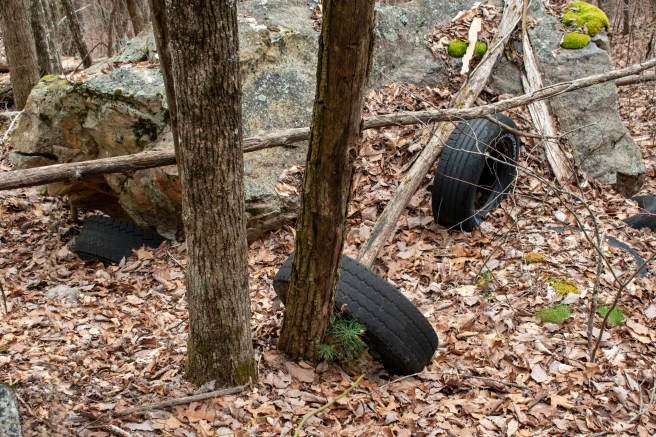
We couldn’t figure out why there were so many tires in the woods. They were about half way down from the top of Bell Knob and not near any old road. We wondered if they were launched from the summit.
