Summary
Distance: 6.0 miles
Elevation gain: 1,631 feet
Type: Out and Back
Trailhead: Pull off on dirt road, passenger car accessible. (map)
I’m still working on finishing up the GA 4000 Challenge, and have six peaks to go. All six are in the Southern Nantahala Wilderness, just inside Georgia near the North Carolina state line.
While researching the final six on Peakbagger.com, I found a route that linked all peaks in one long day. So, I decided to scout one end of the route to see what it looked like, and was very pleasantly surprised with the route to Bly Gap that I didn’t know about. Here is an AllTrails link
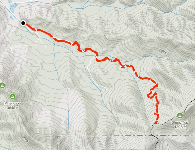
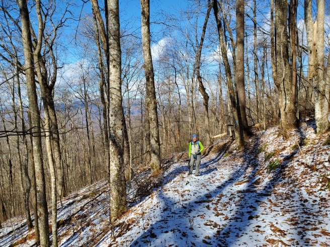
The hike starts at a gate on Bly Gap Rd and follows the Forest Service road. There is one turn to watch out for at about .7 miles from the start — take the right fork. As you further from the start, the road gets progressively rougher. After a small field / wildlife opening, the FS road becomes more of an abandoned old road, and continues to the gap. There are blue blazes, and the trail is easy to follow.
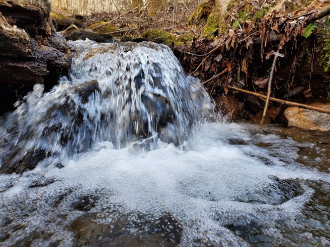
We enjoyed playing in a little stream along the way.

We were treated to a little snow as we got nearer to the gap.